Arizona may be best known for its deserts and dramatic canyons, but seasonal runoff creates opportunities for challenging whitewater kayaking in several parts of the state. The most demanding runs combine powerful current, technical rapids, narrow canyon passages, and rapidly changing water levels, making them suitable only for experienced paddlers. Arizona’s desert environment also adds unique considerations, including extreme temperatures, limited shade, remote access, and long distances between services. Before attempting any advanced or Class V section, kayakers should check current flows, weather, access conditions, hazards, and local regulations.
Northern Arizona Class V Whitewater Kayaking
━━━━━━━━━━━━━━━ 🛶 ━━━━━━━━━━━━━━━
Northern Arizona offers a distinctive whitewater experience shaped by dramatic desert canyons, seasonal runoff, and rugged backcountry terrain. The Little Colorado River, Havasu Creek, Oak Creek, and Paria River provide different types of paddling, from technical canyon sections to highly seasonal flows that depend on snowmelt or rainfall. Not every section of these waterways is Class V, and some are better known for scenic or technical paddling rather than sustained expert whitewater. Paddlers should verify current flows, weather, flash-flood potential, access restrictions, and the specific difficulty of their chosen section before planning a run.
━━━━━━━━━━━━━━━ 🛶 ━━━━━━━━━━━━━━━
🛶 Little Colorado River
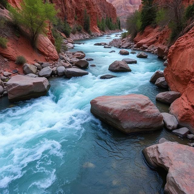
The Little Colorado River cuts through spectacular canyon country in northeastern Arizona and is known for its highly variable flows and remote desert setting. When water levels are suitable, certain sections can present challenging current, technical features, and demanding canyon conditions for experienced paddlers. Flow can change dramatically with snowmelt, rainfall, and upstream conditions, making current river information particularly important. The surrounding canyon environment also creates logistical challenges, with limited access and few opportunities for assistance in remote sections.
Quick Facts: Location: Northeastern Arizona | Class Rapids: Varies by section and flow, with challenging features possible | Difficulty: Advanced in difficult sections | River Type: Desert canyon river | Best Season: Seasonal runoff and suitable high-water periods
Where to Stay: Page, Flagstaff, and communities near the Grand Canyon can provide lodging, restaurants, fuel, and outdoor supplies, depending on the selected river section. Remote trips may require backcountry camping and advance transportation planning.
━━━━━━━━━━━━━━━ 🛶 ━━━━━━━━━━━━━━━
🛶 Havasu Creek
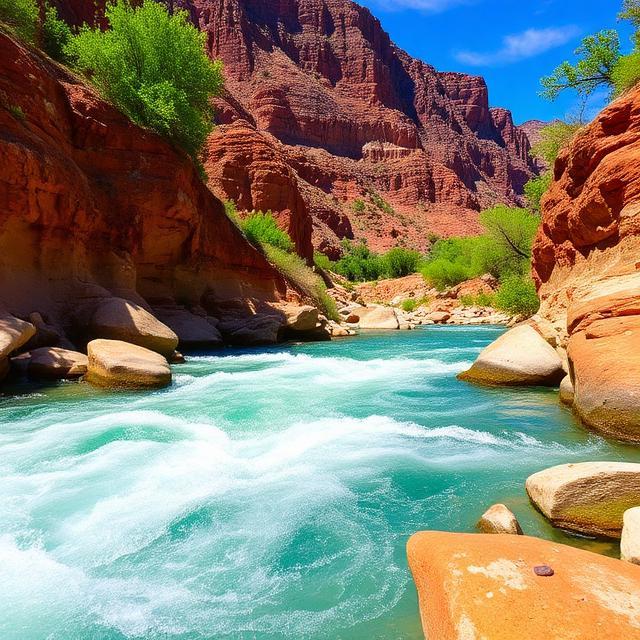
Havasu Creek is famous for its turquoise water, travertine formations, waterfalls, and spectacular Grand Canyon scenery. While it is not generally a sustained Class V whitewater river, selected technical features and challenging conditions can require careful navigation and strong wilderness skills. Flash floods can dramatically alter the creek and create dangerous conditions, particularly following heavy rainfall. Paddlers should also verify current access rules and permits because much of the creek lies within a highly regulated and remote environment.
Quick Facts: Location: Grand Canyon region, Northern Arizona | Class Rapids: Generally below Class V, with technical hazards depending on conditions | Difficulty: Intermediate to Advanced in challenging conditions | River Type: Canyon creek | Best Season: Seasonal conditions and appropriate weather
Where to Stay: Peach Springs is a useful gateway community for the Grand Canyon’s western region, while Flagstaff provides a larger selection of hotels, restaurants, fuel, and outdoor services. Backcountry camping may be required depending on the permitted itinerary.
━━━━━━━━━━━━━━━ 🛶 ━━━━━━━━━━━━━━━
🛶 Oak Creek

Oak Creek flows through one of Northern Arizona’s most scenic canyon landscapes, passing through the red-rock country around Sedona. Its water levels are highly seasonal, and rainfall or snowmelt can produce stronger current and technical conditions in selected sections. Most paddling opportunities are not sustained Class V whitewater, but experienced boaters may encounter demanding features when flows are appropriate. Flash flooding is an important hazard, so paddlers should carefully monitor weather conditions before entering the canyon.
Quick Facts: Location: Sedona / Northern Arizona | Class Rapids: Generally Class II–III with harder features possible at higher flows | Difficulty: Intermediate to Advanced depending on conditions | River Type: Desert canyon creek | Best Season: Seasonal runoff and suitable high-water periods
Where to Stay: Sedona is the most convenient base, offering extensive hotels, restaurants, fuel, outdoor shops, and other visitor services. Flagstaff is another practical option for paddlers exploring the wider Northern Arizona region.
━━━━━━━━━━━━━━━ 🛶 ━━━━━━━━━━━━━━━
🛶 Paria River
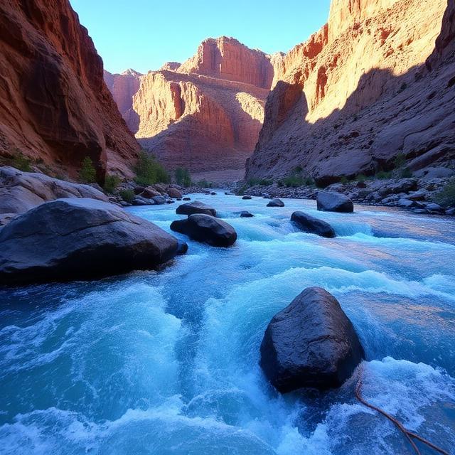
The Paria River flows through spectacular sandstone canyon country along the Arizona-Utah border and is best known for wilderness travel and dramatic slot-canyon scenery. Its flow is highly dependent on rainfall and seasonal conditions, and flash floods can create extremely dangerous water conditions. Technical sections may provide challenging paddling when water levels are appropriate, but the river should not be classified as continuous Class V throughout its length. Paddlers entering remote sections should be prepared for difficult access, changing weather, and limited emergency services.
Quick Facts: Location: Northern Arizona / Utah border | Class Rapids: Varies considerably with flow and section | Difficulty: Intermediate to Advanced in challenging conditions | River Type: Desert canyon river | Best Season: Seasonal runoff and suitable rainfall conditions
Where to Stay: Page is a convenient base for exploring the Arizona side of the Paria region, with hotels, restaurants, fuel, and outdoor services. Kanab, Utah is another useful staging point for trips near the Arizona-Utah border.
Central Arizona Class V Whitewater Kayaking
━━━━━━━━━━━━━━━ 🛶 ━━━━━━━━━━━━━━━
Central Arizona offers highly seasonal whitewater opportunities across rugged desert mountains, narrow canyons, and forested high-country streams. The Agua Fria, Burro Creek, Christopher Creek, East Verde, Ellison Creek, Salome Creek, and Sycamore Creek can develop technical and challenging whitewater when snowmelt or heavy rainfall produces suitable flows. Many of these waterways are intermittent or highly flow-dependent, so a river that is normally shallow or dry can become powerful and hazardous after storms. Paddlers should verify current water levels, weather forecasts, flash-flood risks, road conditions, and access restrictions before attempting any difficult section.
━━━━━━━━━━━━━━━ 🛶 ━━━━━━━━━━━━━━━
🛶 Agua Fria River
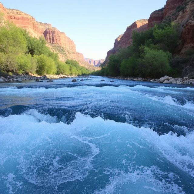
The Agua Fria River flows through rugged desert and canyon terrain north of the Phoenix metropolitan area. Its seasonal character means that runnable conditions depend heavily on rainfall and runoff, with higher flows potentially creating faster current, rocky rapids, and technical river features. The surrounding canyon can be remote and difficult to access, adding logistical challenges to any paddling trip. Experienced paddlers should carefully assess both river conditions and the weather before entering the Agua Fria.
Quick Facts: Location: Central Arizona | Class Rapids: Varies by section and flow | Difficulty: Intermediate to Advanced in challenging conditions | River Type: Desert canyon river | Best Season: Winter and spring runoff or suitable storm events
Where to Stay: Black Canyon City, Prescott, and Phoenix provide lodging, restaurants, fuel, and outdoor supplies for exploring different sections of the Agua Fria region.
━━━━━━━━━━━━━━━ 🛶 ━━━━━━━━━━━━━━━
🛶 Burro Creek
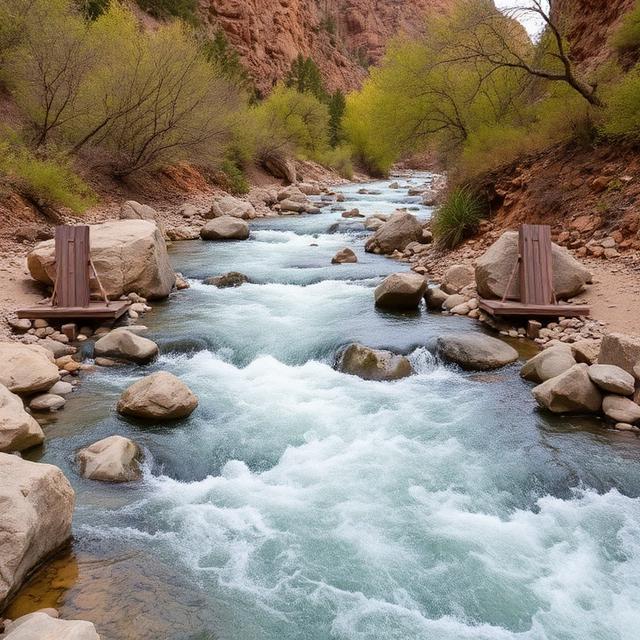
Burro Creek cuts through rugged high-desert terrain and offers a remote canyon environment when seasonal water levels are sufficient. Heavy winter precipitation and spring runoff can transform normally low-flow sections into challenging whitewater with rocky rapids and swift current. The canyon’s isolation means paddlers should be prepared for limited access and few nearby emergency resources. Flash flooding is also an important consideration when storms are present in the surrounding watershed.
Quick Facts: Location: Northwestern/Central Arizona | Class Rapids: Varies by section and flow, with harder features possible at higher water | Difficulty: Advanced in suitable challenging conditions | River Type: High-desert canyon creek | Best Season: Winter and spring runoff
Where to Stay: Wikieup, Kingman, and Prescott can provide useful staging options depending on the selected section, with fuel, food, lodging, and other supplies available farther from the canyon.
━━━━━━━━━━━━━━━ 🛶 ━━━━━━━━━━━━━━━
🛶 Christopher Creek

Christopher Creek flows through the Mogollon Rim region, where forested mountain terrain creates a very different environment from Arizona’s lower desert rivers. Its steep gradient and seasonal runoff can produce fast-moving water, rocky channels, and technical creek features when conditions are suitable. Flow levels can change quickly following snowmelt or significant rainfall, so paddlers should evaluate conditions carefully before attempting a run. The creek is better suited to experienced boaters familiar with small-stream whitewater and changing mountain conditions.
Quick Facts: Location: Mogollon Rim, Central Arizona | Class Rapids: Varies by section and flow | Difficulty: Intermediate to Advanced | River Type: Mountain creek | Best Season: Winter and spring runoff
Where to Stay: Payson is a convenient base for exploring Christopher Creek, with hotels, restaurants, fuel, camping, and outdoor services nearby.
━━━━━━━━━━━━━━━ 🛶 ━━━━━━━━━━━━━━━
🛶 East Verde River
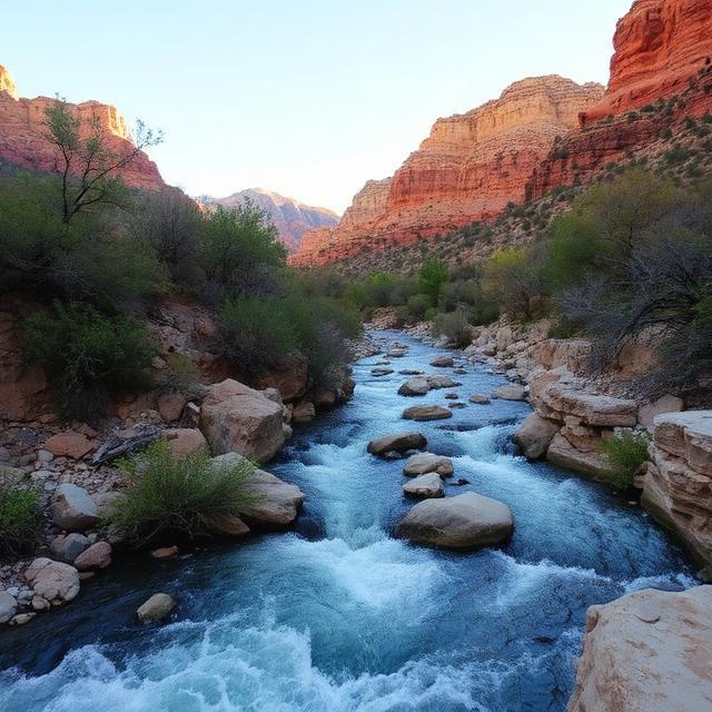
The East Verde River flows through the forested mountains and rugged canyons of Central Arizona before reaching the Verde Valley. Seasonal snowmelt and rainfall can produce temporary whitewater, with stronger current and technical features appearing during higher-flow periods. Much of the river is not continuous Class V, so paddlers should evaluate the specific reach rather than applying one rating to the entire river. Weather and access conditions are particularly important because flows can rise quickly after storms.
Quick Facts: Location: Central Arizona / Mogollon Rim | Class Rapids: Varies by section and flow | Difficulty: Intermediate to Advanced in challenging conditions | River Type: Mountain and desert-transition river | Best Season: Winter and spring runoff
Where to Stay: Payson and Camp Verde provide convenient lodging, restaurants, fuel, camping, and outdoor services for trips in the East Verde region.
━━━━━━━━━━━━━━━ 🛶 ━━━━━━━━━━━━━━━
🛶 Ellison Creek
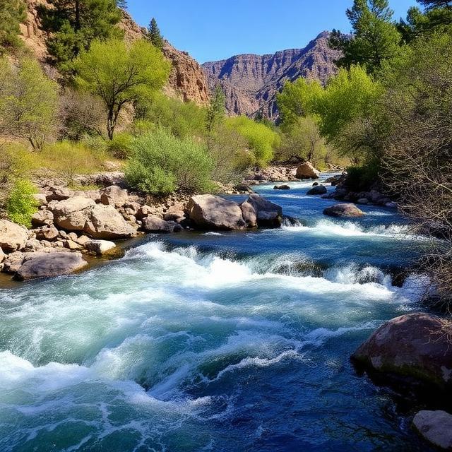
Ellison Creek is a steep, seasonal mountain stream in the Mogollon Rim region. When sufficient runoff occurs, its narrow channel can create technical drops, rocky features, and fast current that demand precise boat control. Water levels are highly dependent on seasonal precipitation and snowmelt, making the window for suitable paddling relatively limited. Paddlers should be particularly cautious of changing weather and flash-flood potential in steep canyon terrain.
Quick Facts: Location: Mogollon Rim, Central Arizona | Class Rapids: Class III–IV with harder features possible depending on flow | Difficulty: Advanced in suitable conditions | River Type: Steep mountain creek | Best Season: Winter and spring runoff
Where to Stay: Payson is the most convenient nearby base, offering lodging, restaurants, fuel, camping, and access to outdoor supplies.
━━━━━━━━━━━━━━━ 🛶 ━━━━━━━━━━━━━━━
🛶 Salome Creek

Salome Creek is a rugged Central Arizona canyon stream known for steep terrain, seasonal water, and remote backcountry conditions. When flows are adequate, the creek can develop technical rapids, narrow channels, and challenging drops requiring strong creek-boating skills. Its canyon environment can make scouting and evacuation difficult, while sudden storms may create dangerous flash-flood conditions. Experienced paddlers should only consider suitable flow windows after carefully checking weather and access conditions.
Quick Facts: Location: Central Arizona | Class Rapids: Class IV–V depending on section and flow | Difficulty: Advanced to Expert | River Type: Steep desert mountain creek | Best Season: Winter and spring runoff or suitable storm-generated flows
Where to Stay: Payson is a practical base for accessing the broader Mogollon Rim area, with lodging, food, fuel, camping, and outdoor services available.
━━━━━━━━━━━━━━━ 🛶 ━━━━━━━━━━━━━━━
🛶 Sycamore Creek
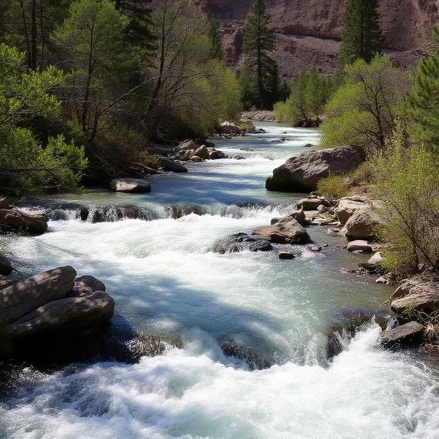
Sycamore Creek is a seasonal Central Arizona waterway that runs through rugged desert and mountain terrain east of the Phoenix area. Heavy rainfall can temporarily create fast-moving water, rocky rapids, and technical features, but conditions can also disappear quickly as flows drop. Because the creek is highly dependent on storms, flash flooding is one of the most important hazards to consider. Paddlers should verify actual river conditions and weather throughout the watershed rather than relying only on conditions at the put-in.
Quick Facts: Location: Central Arizona | Class Rapids: Varies significantly by flow, with difficult features possible during high water | Difficulty: Advanced in suitable conditions | River Type: Seasonal desert creek | Best Season: Winter and spring storm periods
Where to Stay: Phoenix, Mesa, and Apache Junction provide the broadest selection of hotels, restaurants, fuel, outdoor equipment, and other services for exploring the surrounding Central Arizona waterways.
Eastern Arizona Class V Whitewater Kayaking
━━━━━━━━━━━━━━━ 🛶 ━━━━━━━━━━━━━━━
Eastern Arizona offers a combination of forested mountain streams, deep desert canyons, and seasonal whitewater shaped by snowmelt, rainfall, and reservoir releases. The Black River’s East Fork and the Salt River provide very different paddling environments, ranging from remote mountain waterways to long canyon sections with stronger flows. River difficulty varies substantially by section and water level, and neither river should automatically be considered continuous Class V throughout its entire length. Paddlers should research current flows, weather, access, permits, water temperatures, and shuttle logistics before attempting advanced sections.
━━━━━━━━━━━━━━━ 🛶 ━━━━━━━━━━━━━━━
🛶 Black River, East Fork
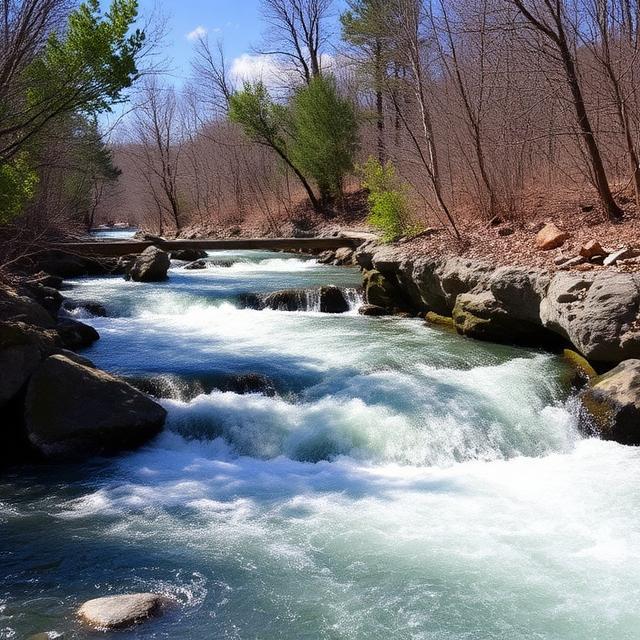
The East Fork of the Black River flows through the forested White Mountains of eastern Arizona, offering a scenic mountain-stream environment at higher elevations. Seasonal snowmelt and rainfall can increase flows enough to create faster current, rocky rapids, and technical features, although much of the river is not continuous Class V. The narrow and remote character of some sections can make scouting and access challenging. Paddlers should carefully evaluate water levels because runnable conditions can be highly seasonal.
Quick Facts: Location: White Mountains, Eastern Arizona | Class Rapids: Varies by section and flow | Difficulty: Intermediate to Advanced in challenging sections | River Type: High-elevation mountain river | Best Season: Spring runoff and suitable high-water periods
Where to Stay: Eagar, Springerville, and Pinetop-Lakeside provide lodging, restaurants, fuel, camping, and outdoor services for paddlers exploring the White Mountains.
━━━━━━━━━━━━━━━ 🛶 ━━━━━━━━━━━━━━━
🛶 Salt River
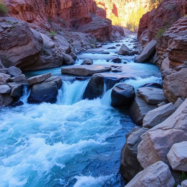
The Salt River is one of Arizona’s most important whitewater rivers, flowing through dramatic desert canyons and rugged mountain terrain. Its most notable whitewater opportunities are highly dependent on water releases and seasonal conditions, with certain canyon sections offering powerful rapids, technical lines, and demanding big-water characteristics. The river’s remote sections can involve extended trips, difficult access, and limited opportunities for outside assistance. Experienced paddlers should verify current release schedules, river levels, permits, shuttle arrangements, and specific rapid ratings before attempting a challenging section.
Quick Facts: Location: Eastern and Central Arizona | Class Rapids: Class III–V depending on section and flow | Difficulty: Advanced to Expert | River Type: Large-volume desert canyon river | Best Season: Winter through spring, depending on flows and releases
Where to Stay: Globe, Roosevelt, and Phoenix can serve as staging points depending on the selected section, providing lodging, restaurants, fuel, camping, and outdoor supplies. Remote sections may require multi-day river trips and backcountry camping.
Conclusion
Class V whitewater kayaking in Arizona offers a unique combination of technical paddling and spectacular desert scenery. Seasonal rivers can transform normally quiet waterways into powerful whitewater runs, while canyon walls and remote landscapes create an unforgettable experience for skilled kayakers. However, fluctuating flows, remote terrain, cold water during runoff, and limited emergency access can make these trips particularly demanding. Proper preparation, advanced rescue skills, suitable equipment, current river information, and conservative decision-making are essential for tackling Arizona’s most difficult whitewater.
FAQ
What is Class V whitewater kayaking?
Class V represents expert-level whitewater with highly challenging rapids, powerful hydraulics, complex lines, steep drops, and serious consequences for mistakes. Conditions and water levels can significantly affect the actual difficulty of a rapid.
Does Arizona have Class V whitewater?
Arizona has several rivers and sections that can provide extremely challenging whitewater under the right conditions. However, difficulty varies considerably by river, section, and seasonal flow, so individual rapids should be evaluated using current conditions rather than relying solely on a general river rating.
What is the best time to go whitewater kayaking in Arizona?
The best period depends on the river and its source. Many Arizona whitewater opportunities are strongly seasonal and depend on snowmelt, storms, or controlled releases. Paddlers should check current flow information before planning a trip.
What makes Arizona whitewater challenging?
Arizona combines technical rapids with remote desert terrain, rapidly changing flows, extreme temperatures, limited shade, and difficult access. Canyon runs can also make scouting, communication, and emergency response more complicated.
Do beginners need to avoid Class V rivers?
Yes. Class V kayaking is intended for highly experienced paddlers with extensive Class IV–V experience. Beginners should develop their skills gradually on easier, well-supported whitewater before progressing to expert-level runs.
What equipment is important for Arizona whitewater kayaking?
A properly fitted whitewater kayak, paddle, helmet, personal flotation device, throw bag, appropriate protective clothing, rescue equipment, and communication equipment are important. Depending on the season and river, paddlers may also need protection from cold water or extreme desert temperatures.
Can Arizona river levels change quickly?
Yes. Snowmelt, rainfall, storms, and water releases can cause substantial changes in river volume and rapid characteristics. A section that is manageable at one flow can become significantly more powerful and difficult at another.
Are Arizona’s whitewater rivers remote?
Some are. Certain canyon and desert runs can be far from roads, towns, and emergency services. Paddlers should plan transportation, communication, food, water, and emergency contingencies before starting a remote trip.
Is Arizona good for experienced whitewater kayakers?
Absolutely. For experienced paddlers, Arizona offers a distinctive combination of technical whitewater, massive canyon scenery, desert landscapes, and seasonal river conditions. The state’s most challenging runs require careful planning and strong judgment.

Leave a Reply