California is one of the premier whitewater kayaking destinations in the United States, offering everything from steep Sierra Nevada creeks to powerful mountain rivers and long, technical whitewater runs. The state’s diverse geography creates a wide range of Class V opportunities, particularly during the spring snowmelt season when many rivers reach their highest and most challenging flows. Popular whitewater regions include the Sierra Nevada, Northern California, and the Central Coast, with difficulty varying significantly between individual river sections. Paddlers should research the specific run, monitor current flows and weather, and understand that California’s Class V rivers can involve serious hazards and remote terrain.
Northern California Class V Whitewater Kayaking
━━━━━━━━━━━━━━━ 🛶 ━━━━━━━━━━━━━━━
Northern California is one of the country’s strongest regions for advanced whitewater kayaking, with the Sierra Nevada, Cascade foothills, and rugged coastal mountains creating steep creeks and powerful river corridors. The American River, Arroyo Hondo, Arroyo Mocho, Bear Creek, Beegum Creek, Big Kimshew Creek, Big Sulphur Creek, Bridge Creek, Canyon Creek, Clear Creek, Feather River, Little Cow Creek, Little Dry Creek, Little Sulphur Creek, Lost Creek, Salmon River, and Yuba River include sections ranging from Class IV to Class V and V+. American Whitewater’s California river index confirms numerous Class V and V+ sections among these waterways, although classifications vary considerably by reach and flow. Water levels can dramatically change the character of Northern California whitewater, so paddlers should check current flows, weather, access, and recent trip reports before attempting difficult sections.
━━━━━━━━━━━━━━━ 🛶 ━━━━━━━━━━━━━━━
🛶 American River
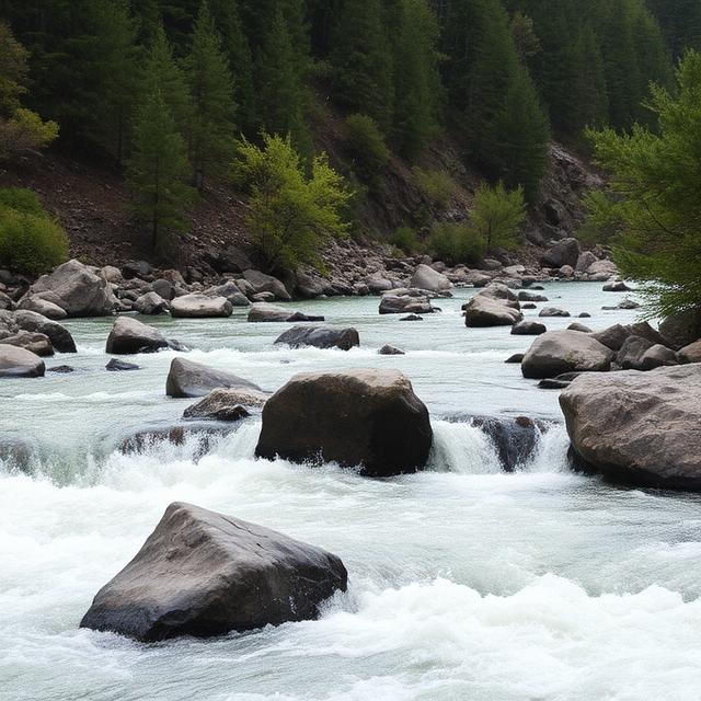
The American River system contains several demanding whitewater sections, including Class V and V+ runs on the North Fork and Middle Fork. The Middle Fork includes Class V terrain from French Meadows Dam toward Interbay, while the North Fork is listed as Class V+. Steep canyon walls, technical rapids, large drops, and remote sections can make these runs serious undertakings for experienced paddlers. The difficulty varies substantially between forks and individual reaches, so paddlers should research the exact section and current flow before launching.
Where to Stay: Auburn, Foresthill, Coloma, and Sacramento provide convenient bases depending on which American River fork is being paddled. Auburn and Foresthill are particularly useful for accessing the Middle and North Fork areas, while Sacramento offers the largest selection of hotels, restaurants, fuel, and outdoor supplies. Remote camping can also be useful for multi-day trips into the upper river country.
Quick Facts: Location: Northern California | Class Rapids: V–V+ depending on section | Difficulty: Expert | River Type: Mountain river and canyon | Best Season: Seasonal snowmelt and suitable releases
━━━━━━━━━━━━━━━ 🛶 ━━━━━━━━━━━━━━━
🛶 Arroyo Hondo
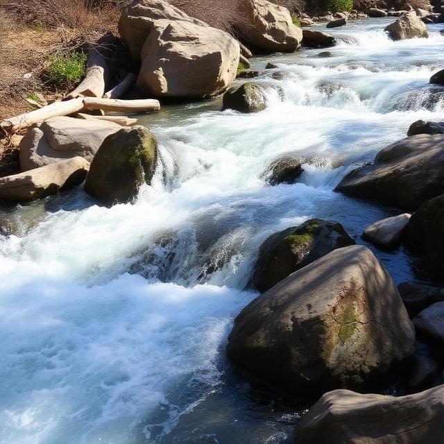
Arroyo Hondo is a steep, technical Northern California creek with a documented Class V section from Kincaid Road to Calaveras Reservoir. The creek is highly dependent on rainfall and can feature narrow channels, rocky drops, and fast-changing conditions. Because flows can be short-lived, timing is an important part of planning a successful descent. Paddlers should confirm recent rainfall, water levels, access, and potential hazards before attempting the run.
Where to Stay: San Jose, Livermore, and Fremont are among the more practical lodging bases for exploring the southern Northern California creek region. San Jose provides the broadest range of hotels, restaurants, fuel, and supplies, while Livermore and Fremont can offer shorter approaches depending on the access point. Paddlers should plan transportation carefully because small creek runs may have limited roadside access.
Quick Facts: Location: Northern California | Class Rapids: V | Difficulty: Expert | River Type: Rainfall-dependent creek | Best Season: Winter and spring storms
━━━━━━━━━━━━━━━ 🛶 ━━━━━━━━━━━━━━━
🛶 Arroyo Mocho
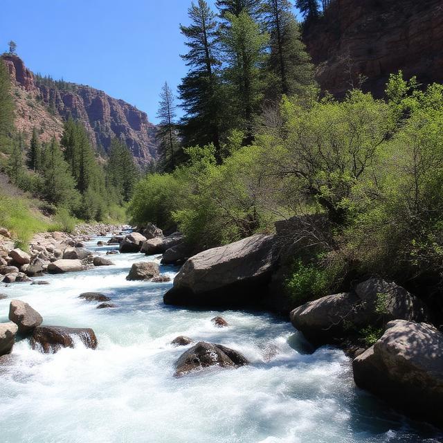
Arroyo Mocho is a highly technical creek with a documented Class IV–V+ section above Waterfalls to the Mines Road bridge. Its steep character and concentrated drops can create serious challenges when sufficient water is available. Like many small Northern California creeks, the run is strongly influenced by rainfall and may only be runnable during specific conditions. Paddlers should scout the intended section, verify flow levels, and understand local access before attempting this expert-level run.
Where to Stay: Livermore, Pleasanton, and San Jose offer convenient lodging and services for paddlers visiting the area. Livermore is generally the most practical base for reaching the surrounding eastern Bay Area foothills, with restaurants, fuel, and hotels readily available. The area is also close enough to San Jose for paddlers who want a larger selection of accommodations.
Quick Facts: Location: Northern California | Class Rapids: IV–V+ | Difficulty: Expert | River Type: Technical creek | Best Season: Rainfall-dependent periods
━━━━━━━━━━━━━━━ 🛶 ━━━━━━━━━━━━━━━
🛶 Bear Creek

Bear Creek includes multiple Northern California whitewater sections with difficulty ranging from Class IV to Class V+. American Whitewater lists the Pacific Crest Trail to Bear Diversion Dam section as Class V+, while another Bear Creek reach near the Sacramento River is rated IV(V+). The creeks can feature steep gradients, technical channels, and significant consequences for mistakes. Paddlers should identify the exact Bear Creek section before planning a trip because similarly named waterways have very different characteristics.
Where to Stay: Chico, Redding, and Lakeport can serve as useful bases depending on which Bear Creek reach is being paddled. Redding is especially convenient for northern mountain waterways and offers extensive lodging, restaurants, fuel, and outdoor supplies. For more remote sections, camping may provide a better base than staying in town.
Quick Facts: Location: Northern California | Class Rapids: IV–V+ depending on section | Difficulty: Advanced to expert | River Type: Mountain creek | Best Season: Rainfall and snowmelt-dependent
━━━━━━━━━━━━━━━ 🛶 ━━━━━━━━━━━━━━━
🛶 Beegum Creek

Beegum Creek is a rugged Northern California creek with a documented Class IV–V(V+) section through Beegum Creek Gorge. The gorge setting, rocky bed, and steep terrain can produce technical whitewater and limited opportunities to exit once committed. Flow is highly dependent on seasonal conditions, so the creek may only offer suitable kayaking during specific periods. Experienced paddlers should carefully research water levels, access, wood hazards, and the exact gorge section before attempting a descent.
Where to Stay: Redding, Red Bluff, and Burney are potential bases for exploring the surrounding northern mountain region. Redding offers the most extensive lodging, restaurants, fuel, and outdoor supplies, while Red Bluff can provide a convenient southern base. Camping in the surrounding forest can also be appropriate for paddlers planning an early start.
Quick Facts: Location: Northern California | Class Rapids: IV–V(V+) | Difficulty: Expert | River Type: Mountain creek and gorge | Best Season: Seasonal rainfall and runoff
━━━━━━━━━━━━━━━ 🛶 ━━━━━━━━━━━━━━━
🛶 Big Kimshew Creek
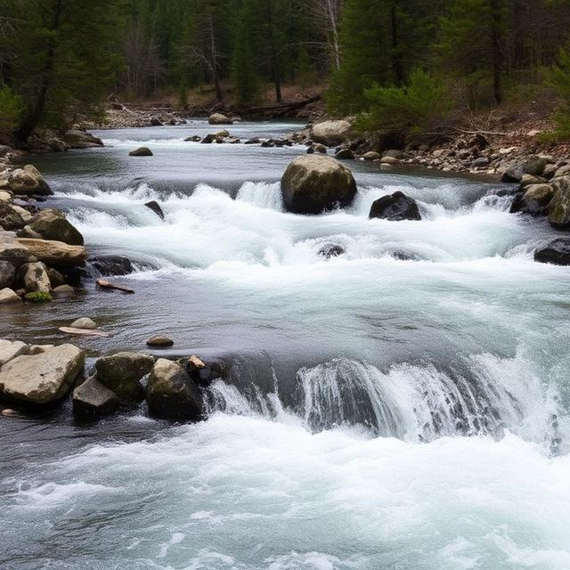
Big Kimshew Creek is a steep and technical Northern California creek rated Class IV–V+ from Concow Road to its confluence with the West Fork Feather River. Its challenging gradient and rocky terrain make it a serious creek run for experienced paddlers. The creek is also connected to the demanding West Branch Feather River system, adding to the region’s concentration of advanced whitewater. Paddlers should check flow information, scout difficult features, and carefully evaluate access before committing to the run.
Where to Stay: Paradise, Chico, and Oroville are convenient bases for exploring Big Kimshew Creek and the surrounding Feather River drainage. Chico provides the largest selection of hotels, restaurants, fuel, and outdoor supplies, while Paradise and Oroville can provide shorter approaches to different parts of the region. Camping may be preferable for paddlers planning to spend several days on nearby Feather River runs.
Quick Facts: Location: Northern California | Class Rapids: IV–V+ | Difficulty: Expert | River Type: Steep mountain creek | Best Season: Snowmelt and suitable high-water periods
━━━━━━━━━━━━━━━ 🛶 ━━━━━━━━━━━━━━━
🛶 Big Sulphur Creek
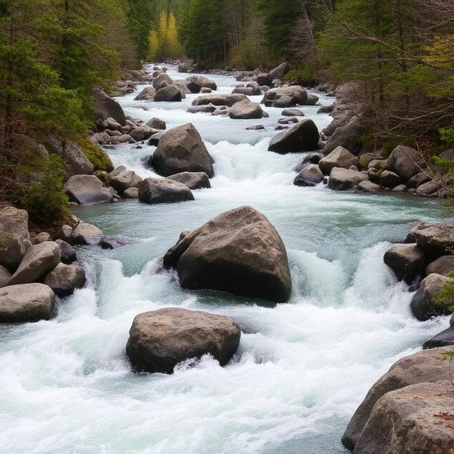
Big Sulphur Creek contains documented Class III–V and IV–V sections between the Geysers and the lower creek. The creek can develop technical whitewater when sufficient rainfall produces suitable flows, with rocky channels and changing current creating demanding conditions. Its difficulty varies between sections, so paddlers should research the specific reach rather than treating the entire creek as Class V. Current flow, recent rainfall, road conditions, and potential wood should be checked before launching.
Where to Stay: Cloverdale, Healdsburg, and Santa Rosa provide practical lodging options for exploring the Big Sulphur Creek area. Cloverdale is particularly convenient for the northern Sonoma County waterways, while Santa Rosa offers the largest selection of hotels, restaurants, fuel, and supplies. Paddlers can also find cabins and camping opportunities in the surrounding wine-country and mountain areas.
Quick Facts: Location: Northern California | Class Rapids: III–V | Difficulty: Advanced to expert | River Type: Rainfall-dependent creek | Best Season: Winter and spring
━━━━━━━━━━━━━━━ 🛶 ━━━━━━━━━━━━━━━
🛶 Bridge Creek
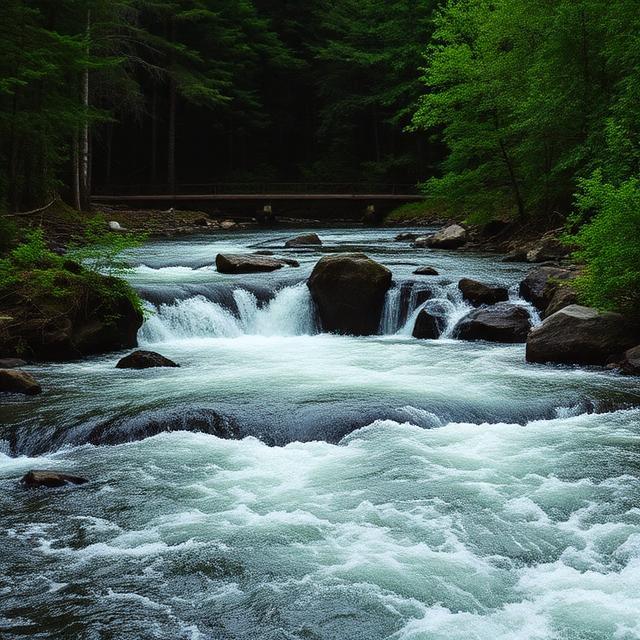
Bridge Creek is a remote Northern California creek with a documented Class V section from the Let’er Buck Trailhead area to Wooley Creek. The run’s remote mountain setting and technical character make logistics an important part of any paddling trip. Rocky channels, steep terrain, and limited access can increase the consequences of a swim or equipment problem. Paddlers should be prepared for a wilderness-style outing and thoroughly research access and current conditions.
Where to Stay: Etna, Yreka, and Fort Jones can provide lodging and supplies for trips into the remote Siskiyou mountain region. Yreka offers the broadest range of hotels, restaurants, fuel, and outdoor services, while Etna and Fort Jones can provide a closer base for backcountry trips. Camping is also an important option for paddlers planning to spend multiple days in the area.
Quick Facts: Location: Northern California | Class Rapids: V | Difficulty: Expert | River Type: Remote mountain creek | Best Season: Snowmelt and suitable high-water periods
━━━━━━━━━━━━━━━ 🛶 ━━━━━━━━━━━━━━━
🛶 Canyon Creek

Canyon Creek contains two documented Class V sections, including French Lake to Bowman Lake and Bowman Lake to the South Yuba confluence. The creek’s steep mountain terrain and technical rapids make it one of the more demanding waterways in the region. Snowmelt and seasonal water levels can strongly influence when the creek is runnable. Expert paddlers should research access, flow, road conditions, and the specific characteristics of each section before attempting a descent.
Where to Stay: Nevada City, Grass Valley, and Truckee can provide lodging options depending on the approach to the selected section. Nevada City and Grass Valley are particularly useful for South Yuba-area paddling, while Truckee provides access to the higher Sierra. Camping is also common for paddlers planning early starts or multi-day trips.
Quick Facts: Location: Northern California Sierra Nevada | Class Rapids: V | Difficulty: Expert | River Type: Sierra mountain creek | Best Season: Spring and early summer snowmelt
━━━━━━━━━━━━━━━ 🛶 ━━━━━━━━━━━━━━━
🛶 Clear Creek
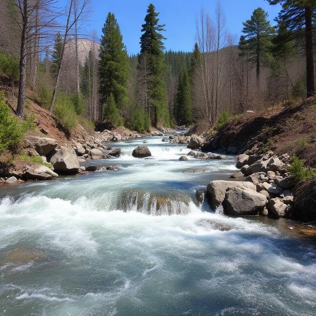
Clear Creek includes a demanding Class IV–V section through rugged Northern California terrain. The creek features technical rapids and rocky drops that become more challenging as flows increase. Remote sections can make scouting and rescue planning particularly important. Paddlers should check current flows, inspect known hazards, and research the exact reach before attempting the hardest water.
Where to Stay: Redding, Whiskeytown, and Shasta Lake are useful bases for paddlers exploring Clear Creek and surrounding Northern California rivers. Redding provides the widest range of lodging, restaurants, fuel, and outdoor supplies, while smaller communities can offer closer access to the watershed. Camping is another practical option for trips into the more remote sections.
Quick Facts: Location: Northern California | Class Rapids: IV–V | Difficulty: Advanced to expert | River Type: Mountain creek | Best Season: Seasonal runoff and rainfall
━━━━━━━━━━━━━━━ 🛶 ━━━━━━━━━━━━━━━
🛶 Feather River
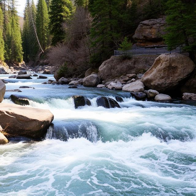
The Feather River system contains some of California’s most significant Class V whitewater, particularly on the Middle Fork, North Fork, South Fork, and West Branch. American Whitewater lists numerous Class V and V+ sections, including Devils Canyon, Bald Rock, Seneca, and the West Branch’s Secret Stash. These rivers combine steep gradients, large rapids, technical channels, and powerful flows that demand expert skills. Certain North Fork sections also receive scheduled recreational releases, making flow planning particularly important.
Where to Stay: Quincy, Chico, Oroville, and Paradise are useful bases depending on the Feather River fork being paddled. Quincy is especially convenient for the upper Middle and North Forks, while Chico and Oroville provide more extensive lodging, restaurants, fuel, and supplies. Paddlers should consider camping when accessing remote sections of the river.
Quick Facts: Location: Northern California | Class Rapids: V–V+ depending on section | Difficulty: Expert | River Type: Mountain river system | Best Season: Snowmelt and scheduled releases
━━━━━━━━━━━━━━━ 🛶 ━━━━━━━━━━━━━━━
🛶 Little Cow Creek
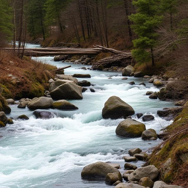
Little Cow Creek is a Northern California creek with a documented Class III–IV(V) section from Phillips Drive to Buzzard Roost Road. The run can become significantly more technical at higher flows, with rocky channels and faster current requiring experienced boat control. Because the hardest features are flow-dependent, paddlers should evaluate current conditions rather than relying on the maximum classification alone. Recent rainfall, flow levels, wood, and access should all be checked before paddling.
Where to Stay: Redding, Shingletown, and Anderson offer practical lodging and services for exploring the surrounding Northern California creeks. Redding is the best-equipped regional base for hotels, restaurants, fuel, and outdoor supplies. Camping in the nearby mountain areas can provide a convenient alternative for paddlers planning multiple runs.
Quick Facts: Location: Northern California | Class Rapids: III–IV(V) | Difficulty: Advanced at high flows | River Type: Mountain creek | Best Season: Rainfall and seasonal runoff
━━━━━━━━━━━━━━━ 🛶 ━━━━━━━━━━━━━━━
🛶 Little Dry Creek

Little Dry Creek is a technical Northern California creek with a documented Class IV–V section from Burrow Valley Road/Sycamore Road to Sycamore Creek. Its narrow channel and seasonal nature make water level a major consideration when planning a run. Higher flows can increase current speed and the power of individual features, while low water can make rocky sections difficult to navigate. Paddlers should check recent rainfall, scout the intended section, and verify access before launching.
Where to Stay: Redding, Red Bluff, and Chico are reasonable bases for exploring the surrounding Northern California drainage. Redding offers the largest selection of services and supplies, while Red Bluff and Chico may be more convenient depending on the approach. Camping and dispersed outdoor lodging are also options in nearby mountain areas.
Quick Facts: Location: Northern California | Class Rapids: IV–V | Difficulty: Advanced to expert | River Type: Seasonal creek | Best Season: Winter and spring rainfall
━━━━━━━━━━━━━━━ 🛶 ━━━━━━━━━━━━━━━
🛶 Little Sulphur Creek
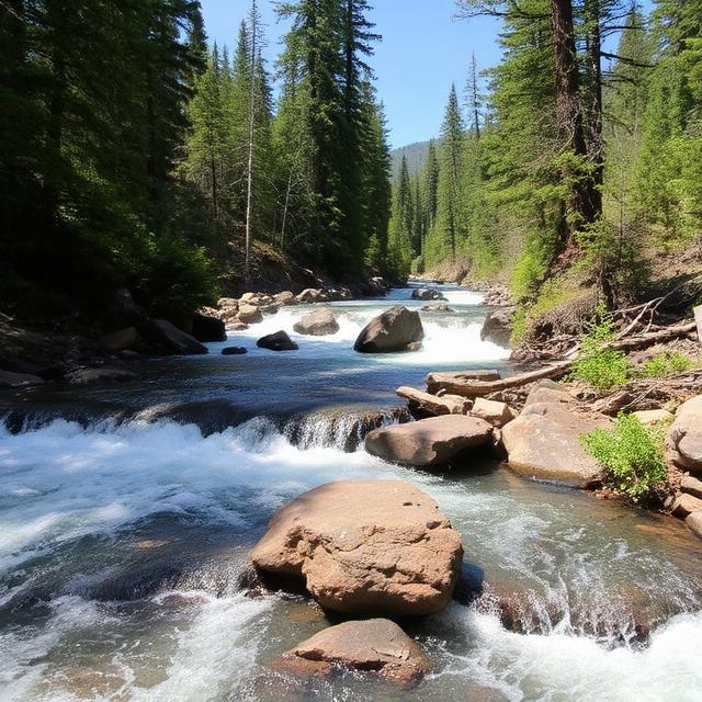
Little Sulphur Creek is a technical Northern California creek rated Class IV–V+ between Healdsburg-Geyserville Road and Big Sulphur Creek. The creek is highly dependent on rainfall and can develop demanding rapids in a relatively short period. Rocky channels and fast current make precise maneuvering important, particularly as flows increase. Paddlers should confirm that the creek is at an appropriate level and carefully research the run before attempting it.
Where to Stay: Healdsburg, Cloverdale, and Santa Rosa provide convenient lodging options for exploring the Sulphur Creek system. Healdsburg and Cloverdale offer shorter approaches, while Santa Rosa provides the broadest selection of hotels, restaurants, fuel, and supplies. Paddlers should also be prepared for changing road and access conditions after major storms.
Quick Facts: Location: Northern California | Class Rapids: IV–V+ | Difficulty: Expert | River Type: Rainfall-dependent creek | Best Season: Winter and spring storms
━━━━━━━━━━━━━━━ 🛶 ━━━━━━━━━━━━━━━
🛶 Lost Creek
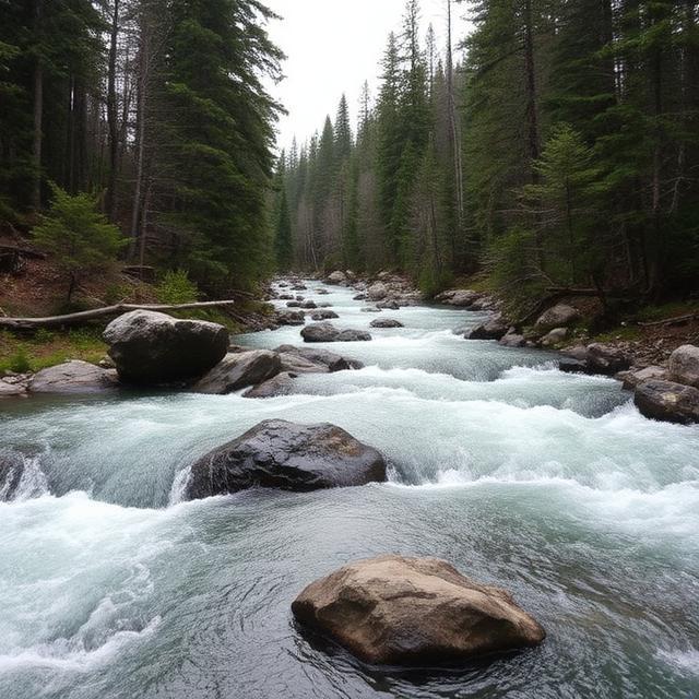
Lost Creek is an exceptionally difficult Northern California run with a documented Class V+ section from Lost Creek Reservoir to Forbestown Reservoir. The steep, technical character and serious consequences make this a run for highly experienced paddlers only. Water levels, access, and the ability to safely scout or portage difficult features should be carefully considered before committing. This is not a run where a paddler should rely on general river classifications without researching the specific section.
Where to Stay: Oroville, Marysville, and Grass Valley can provide lodging and supplies depending on the access route. Oroville is a practical base for the Feather River and surrounding foothills, while Grass Valley provides convenient access to the western Sierra. Camping may be preferable for paddlers who need an early start or are linking the run with nearby whitewater.
Quick Facts: Location: Northern California | Class Rapids: V+ | Difficulty: Expert | River Type: Steep mountain creek | Best Season: Suitable seasonal high-water periods
━━━━━━━━━━━━━━━ 🛶 ━━━━━━━━━━━━━━━
🛶 Salmon River
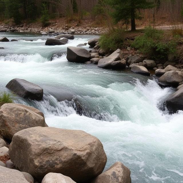
The Salmon River is a remote Northern California river system known for rugged wilderness scenery and a variety of whitewater. While many documented sections are below Class V, tributaries and individual reaches can provide significantly more technical paddling, making careful section selection essential. The remote setting can also make logistics, rescue planning, and access more difficult than on rivers closer to major communities. Paddlers should research the exact run, current flow, road conditions, and wilderness regulations before planning a trip.
Where to Stay: Etna, Sawyers Bar, and Yreka are useful bases for exploring the Salmon River region. Yreka offers the largest selection of hotels, restaurants, fuel, and supplies, while Etna and Sawyers Bar provide closer access to the remote river country. Camping is often the most practical choice for multi-day wilderness paddling trips.
Quick Facts: Location: Northern California | Class Rapids: V potential on selected sections and tributaries | Difficulty: Advanced to expert depending on section | River Type: Wild mountain river | Best Season: Seasonal snowmelt and suitable flows
━━━━━━━━━━━━━━━ 🛶 ━━━━━━━━━━━━━━━
🛶 Yuba River

The Yuba River is one of Northern California’s premier whitewater systems, with multiple demanding sections including Class V and V+ water. American Whitewater describes the South Yuba’s Purdons section as Class V+, featuring long continuous rapids, multiple channels, large holes, and sieves with very limited egress from the canyon. Other branches and sections offer a wide range of difficulty, making the Yuba suitable for different levels of experienced paddlers. Water levels can dramatically affect the character of the river, so paddlers should research the exact section and current flow before launching.
Where to Stay: Nevada City, Grass Valley, Downieville, and Truckee are useful bases depending on the Yuba branch and section. Nevada City and Grass Valley are particularly convenient for South Yuba access, while Downieville is an excellent base for the upper Yuba and surrounding Sierra waterways. Truckee offers extensive lodging and services for paddlers exploring the higher-elevation sections.
Quick Facts: Location: Northern California | Class Rapids: V–V+ depending on section | Difficulty: Expert | River Type: Sierra mountain river | Best Season: Spring and early summer snowmelt
Sierra Nevada Class V Whitewater Kayaking
━━━━━━━━━━━━━━━ 🛶 ━━━━━━━━━━━━━━━
The Sierra Nevada is one of California’s premier regions for advanced whitewater kayaking, with steep granite canyons, high-elevation creeks, and powerful snowmelt-driven rivers. The Big Creek, Cherry Creek, Clavey River, Fresno River, Kings River, Lee Vining Creek, Merced River, Mill Creek, Mokelumne River, Mono Creek, Rubicon River, Rush Creek, and San Joaquin River offer a wide range of technical whitewater, including demanding Class V and V+ sections on selected reaches. Many Sierra runs are strongly dependent on spring and early-summer snowmelt, while lower-elevation creeks can also respond to winter and spring rainfall. Paddlers should verify current flows, road access, weather, snow conditions, and the exact classification of their intended section before attempting difficult whitewater.
━━━━━━━━━━━━━━━ 🛶 ━━━━━━━━━━━━━━━
🛶 Big Creek

Big Creek is a steep Sierra Nevada tributary where seasonal snowmelt can create technical and powerful whitewater. Rocky channels, granite features, and significant elevation changes can make suitable high-water sections demanding for experienced paddlers. Water levels can change quickly during the spring runoff, substantially altering the difficulty of individual rapids. Paddlers should research the specific reach, check current flows, and scout major features before attempting the run.
Where to Stay: Fresno, Shaver Lake, and Clovis provide convenient bases depending on the section being paddled. Fresno offers the largest selection of hotels, restaurants, fuel, and outdoor supplies, while Shaver Lake provides closer access to the Sierra mountain terrain. Camping and cabins can also be practical for paddlers planning early starts.
Quick Facts: Location: Sierra Nevada, California | Class Rapids: V potential depending on section and flow | Difficulty: Advanced to expert | River Type: Mountain creek | Best Season: Spring snowmelt
━━━━━━━━━━━━━━━ 🛶 ━━━━━━━━━━━━━━━
🛶 Cherry Creek

Cherry Creek is one of the Sierra Nevada’s most serious whitewater runs, with a reputation for steep, continuous, and highly technical rapids. The granite canyon environment creates powerful drops, narrow passages, and limited opportunities to escape the river once committed. Spring and early-summer snowmelt can produce the flows necessary for the hardest sections, while higher water can dramatically increase the power of the rapids. This is an expert-level river that requires extensive preparation, strong rescue skills, and careful scouting.
Where to Stay: Groveland, Sonora, and Oakdale are useful bases for exploring the Cherry Creek and upper Tuolumne region. Groveland is particularly convenient for accessing the Sierra and Yosemite-area waterways, while Sonora offers more lodging, restaurants, fuel, and supplies. Remote camping can be preferable for paddlers planning an early launch.
Quick Facts: Location: Central Sierra Nevada | Class Rapids: V+ | Difficulty: Expert | River Type: Steep granite creek | Best Season: Spring and early-summer snowmelt
━━━━━━━━━━━━━━━ 🛶 ━━━━━━━━━━━━━━━
🛶 Clavey River
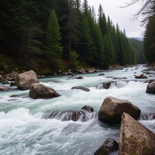
The Clavey River is a rugged Sierra tributary known for steep gradient, granite formations, and technical whitewater. Selected sections can reach Class V difficulty, particularly when flows are sufficient to make the river runnable. Its remote canyon environment adds logistical challenges, with difficult access and limited opportunities for assistance in some sections. Paddlers should carefully research water levels, access roads, wood hazards, and the specific section before committing to a run.
Where to Stay: Sonora, Groveland, and Long Barn offer useful lodging options for exploring the Clavey and surrounding Stanislaus National Forest waterways. Sonora provides the greatest selection of hotels, restaurants, fuel, and supplies, while Groveland can be more convenient for western Sierra access. Camping is also an option for paddlers looking to stay closer to the river.
Quick Facts: Location: Sierra Nevada, California | Class Rapids: V potential depending on section and flow | Difficulty: Advanced to expert | River Type: Mountain river | Best Season: Spring snowmelt
━━━━━━━━━━━━━━━ 🛶 ━━━━━━━━━━━━━━━
🛶 Fresno River

The Fresno River is a seasonal Sierra foothill waterway that can develop challenging whitewater following substantial rainfall and snowmelt. Rocky channels and changing current can create technical sections, with difficulty varying significantly depending on water level. Unlike some larger Sierra rivers, runnable conditions may occur during relatively short windows. Paddlers should check recent precipitation, current levels, access, and the specific section before planning a trip.
Where to Stay: Oakhurst, Mariposa, and Fresno are practical bases for exploring the Fresno River and nearby Sierra waterways. Oakhurst is especially useful for accessing the southern Sierra, while Fresno provides the largest selection of lodging, restaurants, fuel, and outdoor supplies. Camping and cabins around the Sierra foothills can also provide convenient alternatives.
Quick Facts: Location: Southern Sierra Nevada | Class Rapids: V potential depending on section and flow | Difficulty: Advanced to expert at suitable flows | River Type: Seasonal foothill river | Best Season: Winter and spring runoff
━━━━━━━━━━━━━━━ 🛶 ━━━━━━━━━━━━━━━
🛶 Kings River
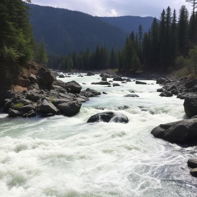
The Kings River is a major Sierra Nevada whitewater system with steep canyon sections and powerful seasonal flows. Its upper forks and technical reaches can provide demanding Class IV–V whitewater, while other sections offer easier paddling. Spring snowmelt can create large volumes of fast-moving water through granite canyons, making timing and flow management essential. Paddlers should research the exact fork and section because difficulty varies substantially throughout the river system.
Where to Stay: Three Rivers, Fresno, and Hume can serve as bases depending on the section being paddled. Three Rivers is convenient for the southern Sierra and Sequoia region, while Fresno offers extensive lodging, restaurants, fuel, and supplies. Camping is also popular around the national forest and park areas, subject to current regulations and availability.
Quick Facts: Location: Southern Sierra Nevada | Class Rapids: IV–V depending on section and flow | Difficulty: Advanced to expert | River Type: High-volume mountain river | Best Season: Spring and early-summer snowmelt
━━━━━━━━━━━━━━━ 🛶 ━━━━━━━━━━━━━━━
🛶 Lee Vining Creek
Lee Vining Creek descends rapidly from the eastern Sierra and can provide technical whitewater in steep, rocky terrain when sufficient snowmelt is present. The creek’s high-elevation setting means water availability and road access can be heavily influenced by seasonal snowpack. Rocky drops and narrow channels can create demanding conditions for experienced paddlers. Paddlers should carefully monitor snowmelt, weather, road conditions, and current flows before attempting a run.
Where to Stay: Lee Vining, Mammoth Lakes, and June Lake are convenient bases for exploring the eastern Sierra. Mammoth Lakes offers the largest selection of hotels, restaurants, fuel, and outdoor services, while Lee Vining is closer to the creek itself. High-elevation camping is another option during the warmer months when sites and roads are open.
Quick Facts: Location: Eastern Sierra Nevada | Class Rapids: V potential depending on section and flow | Difficulty: Advanced to expert | River Type: High-elevation creek | Best Season: Spring and early-summer snowmelt
━━━━━━━━━━━━━━━ 🛶 ━━━━━━━━━━━━━━━
🛶 Merced River
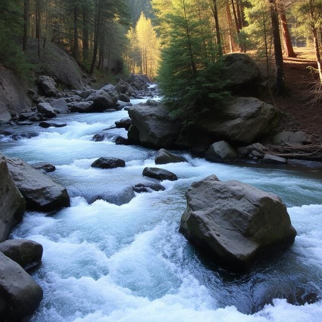
The Merced River is one of the best-known Sierra Nevada rivers, flowing through spectacular granite canyon country near Yosemite. Certain upper and canyon sections can provide challenging Class IV–V whitewater, while lower portions are substantially easier and more suitable for recreational paddling. Snowmelt can create powerful spring flows, making the river’s character change significantly throughout the season. Paddlers should identify the exact section, check current conditions, and understand local access and regulations before launching.
Where to Stay: Mariposa, El Portal, and Oakhurst are popular bases for exploring the Merced and Yosemite region. El Portal offers the closest lodging to many river sections, while Mariposa and Oakhurst provide additional hotels, restaurants, fuel, and supplies. Camping can be useful during peak paddling season but should be reserved or checked in advance.
Quick Facts: Location: Central Sierra Nevada | Class Rapids: IV–V depending on section and flow | Difficulty: Advanced to expert | River Type: Granite canyon river | Best Season: Spring and early summer
━━━━━━━━━━━━━━━ 🛶 ━━━━━━━━━━━━━━━
🛶 Mill Creek

Mill Creek is a steep Sierra Nevada creek where seasonal rainfall and snowmelt can create technical whitewater. Narrow channels, rocky drops, and changing current can make the creek challenging when flows reach suitable levels. Its smaller drainage means runnable conditions can be brief and highly dependent on recent weather. Paddlers should verify water levels, inspect the route for wood and other hazards, and scout difficult features before attempting the creek.
Where to Stay: Sonora, Murphys, and Angels Camp are useful bases for exploring Sierra foothill waterways in this region. Sonora provides a wide selection of lodging, restaurants, fuel, and supplies, while Murphys and Angels Camp offer convenient access to the surrounding mountain roads. Camping is also available throughout nearby forest areas.
Quick Facts: Location: Sierra Nevada, California | Class Rapids: V potential depending on section and flow | Difficulty: Advanced to expert | River Type: Seasonal mountain creek | Best Season: Winter and spring
━━━━━━━━━━━━━━━ 🛶 ━━━━━━━━━━━━━━━
🛶 Mokelumne River
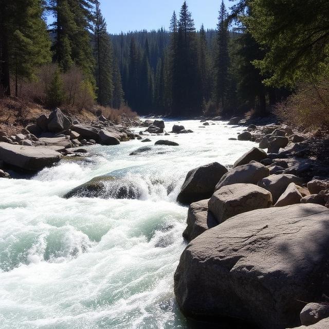
The Mokelumne River is a major Sierra Nevada whitewater destination with several challenging sections through steep granite terrain. The upper river and selected forks can provide Class IV–V whitewater, while other sections are more moderate. Snowmelt and reservoir operations can strongly influence flows, making current release information important for planning. Experienced paddlers should research the exact reach and be prepared for technical rapids, cold water, and remote canyon conditions.
Where to Stay: Jackson, Pioneer, and Arnold provide convenient lodging and services for exploring the Mokelumne watershed. Jackson offers a broader selection of hotels, restaurants, and fuel, while Arnold is closer to the higher-elevation river country. Cabins and camping can also be good options for paddlers planning multiple days on the river.
Quick Facts: Location: Central Sierra Nevada | Class Rapids: IV–V depending on section and flow | Difficulty: Advanced to expert | River Type: Mountain river | Best Season: Spring snowmelt and suitable releases
━━━━━━━━━━━━━━━ 🛶 ━━━━━━━━━━━━━━━
🛶 Mono Creek
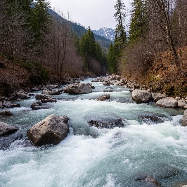
Mono Creek is a remote eastern Sierra tributary with steep terrain and technical whitewater when seasonal flows are suitable. The high-elevation setting means snowmelt is a major factor in determining when the creek becomes runnable. Rocky drops, narrow channels, and wilderness access can make the run particularly demanding from both a paddling and logistical perspective. Paddlers should plan carefully for access, weather, water levels, and limited rescue options.
Where to Stay: Bishop, Mammoth Lakes, and Fresno can provide lodging and supplies depending on the access route. Mammoth Lakes and Bishop are particularly useful for eastern Sierra approaches, while Fresno provides a larger range of services for southern approaches. Backcountry camping may be necessary for some sections.
Quick Facts: Location: Eastern Sierra Nevada | Class Rapids: V potential depending on section and flow | Difficulty: Expert | River Type: Remote high-elevation creek | Best Season: Spring and early-summer snowmelt
━━━━━━━━━━━━━━━ 🛶 ━━━━━━━━━━━━━━━
🛶 Rubicon River

The Rubicon River is one of the Sierra Nevada’s classic technical whitewater runs, known for steep granite terrain, challenging rapids, and remote canyon sections. Certain reaches contain serious Class V whitewater where precise boat control and strong scouting skills are essential. The rugged landscape can make access and rescue difficult, increasing the importance of preparation before entering the river. Paddlers should research current flows, road conditions, hazards, and the exact section being attempted.
Where to Stay: Georgetown, Placerville, and South Lake Tahoe are useful bases depending on the Rubicon section and approach. Georgetown is convenient for the western Sierra foothills, while Placerville offers a larger selection of hotels, restaurants, fuel, and supplies. Camping is also popular around the Rubicon and nearby Eldorado National Forest areas.
Quick Facts: Location: Northern/Central Sierra Nevada | Class Rapids: V potential depending on section | Difficulty: Expert | River Type: Granite canyon river | Best Season: Spring and early-summer runoff
━━━━━━━━━━━━━━━ 🛶 ━━━━━━━━━━━━━━━
🛶 Rush Creek
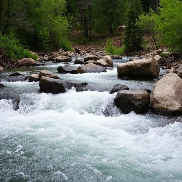
Rush Creek is an eastern Sierra waterway where steep elevation changes and seasonal snowmelt can create technical whitewater. The high-altitude drainage produces cold, fast-moving water during the spring runoff season, with rocky channels increasing the technical nature of suitable sections. Flows can be highly seasonal and access can be affected by snow and road closures. Paddlers should verify current conditions and be prepared for high-elevation weather and rapidly changing water levels.
Where to Stay: Mammoth Lakes, Lee Vining, and June Lake are the most practical lodging bases for the Rush Creek area. Mammoth Lakes offers the largest selection of hotels, restaurants, fuel, and outdoor supplies, while Lee Vining and June Lake provide closer access to the eastern Sierra. Camping can also be an option once high-country facilities open for the season.
Quick Facts: Location: Eastern Sierra Nevada | Class Rapids: V potential depending on section and flow | Difficulty: Advanced to expert | River Type: High-elevation creek | Best Season: Spring snowmelt
━━━━━━━━━━━━━━━ 🛶 ━━━━━━━━━━━━━━━
🛶 San Joaquin River
The San Joaquin River begins high in the Sierra Nevada and includes several steep, remote sections that can provide demanding whitewater. Upper tributaries and selected river reaches can reach advanced or Class V difficulty depending on the exact section and water level. Spring snowmelt is the primary driver of flows in many Sierra sections, creating powerful current and cold-water conditions. Because the river system is extensive, paddlers should identify the exact reach and carefully research access, flow, and hazards before attempting a run.
Where to Stay: Mammoth Lakes, Fresno, and North Fork can serve as bases depending on the selected section. Fresno provides the broadest selection of hotels, restaurants, fuel, and supplies, while Mammoth Lakes is useful for high-elevation eastern Sierra access. Cabins and camping throughout the Sierra can also be convenient for multi-day paddling trips.
Quick Facts: Location: Sierra Nevada, California | Class Rapids: V potential depending on section and flow | Difficulty: Advanced to expert | River Type: Sierra mountain river | Best Season: Spring and early-summer snowmelt
Central California Class V Whitewater Kayaking
━━━━━━━━━━━━━━━ 🛶 ━━━━━━━━━━━━━━━
Central California offers a mix of rainfall-dependent creeks, mountain rivers, and seasonal waterways that can produce challenging whitewater under the right conditions. The Mad River, Mark West Creek, San Gabriel River, San Joaquin River, and Santa Margarita River provide different paddling environments, from technical mountain creeks to larger river corridors. Not every section of these waterways is Class V, and several are highly dependent on winter storms, spring runoff, or specific flow conditions. Paddlers should verify current flows, recent rainfall, access conditions, and the exact difficulty of their intended section before attempting advanced whitewater.
━━━━━━━━━━━━━━━ 🛶 ━━━━━━━━━━━━━━━
🛶 Mad River
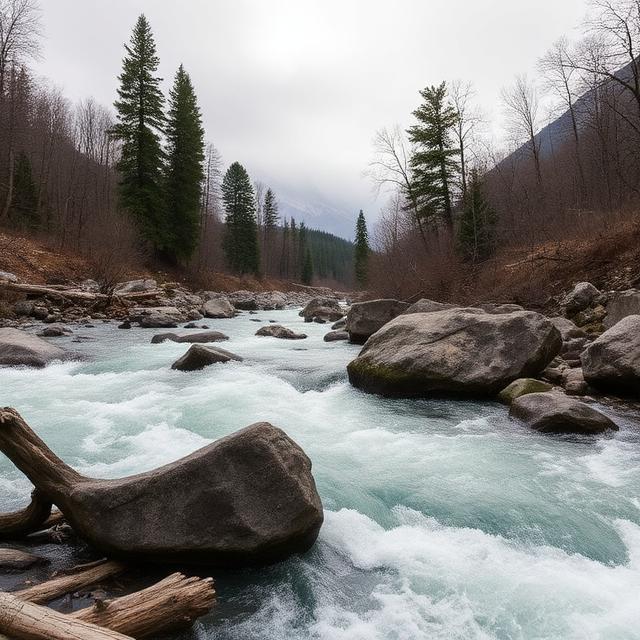
The Mad River is a scenic Northern/Central California waterway that can develop challenging whitewater during periods of substantial rainfall. Upper sections and tributaries feature steeper terrain and technical conditions, while lower portions become wider and less demanding. Water levels can change quickly following winter storms, making flow information particularly important when planning a run. Paddlers should research the specific section, check recent rainfall, and scout unfamiliar rapids before attempting difficult water.
Where to Stay: Eureka, Arcata, and McKinleyville provide convenient lodging bases for exploring the Mad River region. Eureka offers the largest selection of hotels, restaurants, fuel, and outdoor supplies, while Arcata provides easy access to the surrounding North Coast. Camping and cabins are also available in the surrounding mountain and forest areas.
Quick Facts: Location: North/Central California | Class Rapids: V potential depending on section and flow | Difficulty: Advanced to expert | River Type: Coastal mountain river | Best Season: Winter and spring rainfall
━━━━━━━━━━━━━━━ 🛶 ━━━━━━━━━━━━━━━
🛶 Mark West Creek
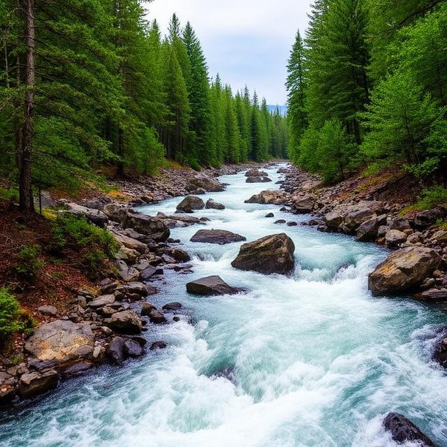
Mark West Creek is a small, rainfall-dependent waterway in the North Bay that can become technically challenging following significant winter storms. Rocky channels, narrow passages, and rapidly increasing flows can create demanding conditions when the creek reaches suitable levels. Because the creek is relatively small, runnable windows can be short and water levels can change quickly. Paddlers should verify recent rainfall, current conditions, access, and potential hazards before attempting a run.
Where to Stay: Santa Rosa, Calistoga, and Healdsburg are practical bases for exploring Mark West Creek and the surrounding Sonoma County waterways. Santa Rosa provides the broadest selection of hotels, restaurants, fuel, and supplies, while Calistoga and Healdsburg offer convenient access to the northern wine-country foothills. Paddlers should plan transportation carefully because smaller creek access points may be limited.
Quick Facts: Location: Sonoma County, Central California | Class Rapids: V potential depending on section and flow | Difficulty: Advanced to expert at high water | River Type: Rainfall-dependent creek | Best Season: Winter and spring storms
━━━━━━━━━━━━━━━ 🛶 ━━━━━━━━━━━━━━━
🛶 San Gabriel River
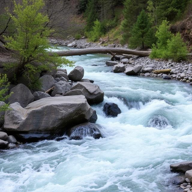
The San Gabriel River drains the rugged San Gabriel Mountains north of Los Angeles and contains steep canyon terrain with highly seasonal whitewater opportunities. Upper sections can become technical following substantial winter precipitation, with fast current, rocky channels, and steep drops in some reaches. Much of the river is not Class V, so paddlers should identify the exact section and water level before assigning a difficulty rating to a planned trip. Access, water releases, weather, and debris conditions should be checked carefully because the river responds quickly to major storms.
Where to Stay: Azusa, Monrovia, and Pasadena are convenient bases for exploring the San Gabriel Mountains and nearby river sections. Azusa provides relatively close access to the lower canyon area, while Pasadena and Monrovia offer a wider range of hotels, restaurants, fuel, and supplies. Paddlers traveling into higher mountain sections should check road and trail conditions before departing.
Quick Facts: Location: San Gabriel Mountains, Southern/Central California | Class Rapids: V potential depending on section and flow | Difficulty: Advanced to expert in suitable conditions | River Type: Mountain canyon river | Best Season: Winter and spring storms
━━━━━━━━━━━━━━━ 🛶 ━━━━━━━━━━━━━━━
🛶 San Joaquin River

The San Joaquin River is one of California’s major river systems, beginning in the Sierra Nevada before flowing through the Central Valley. The upper mountain reaches and tributaries can provide demanding technical whitewater, particularly during the spring snowmelt season, while much of the lower river is considerably less difficult. Cold, powerful flows and steep mountain terrain can create serious conditions on advanced sections. Paddlers should research the specific upper-river reach, monitor snowmelt and flow levels, and verify access before planning a difficult descent.
Where to Stay: Fresno, North Fork, and Mammoth Lakes can serve as bases depending on which part of the San Joaquin system is being paddled. Fresno provides the largest selection of lodging, restaurants, fuel, and outdoor supplies, while North Fork offers closer access to portions of the Sierra foothills. Mammoth Lakes is useful for high-elevation trips toward the river’s eastern Sierra headwaters.
Quick Facts: Location: Central California/Sierra Nevada | Class Rapids: V potential on selected upper sections | Difficulty: Advanced to expert depending on section | River Type: Sierra mountain river | Best Season: Spring and early-summer snowmelt
━━━━━━━━━━━━━━━ 🛶 ━━━━━━━━━━━━━━━
🛶 Santa Margarita River
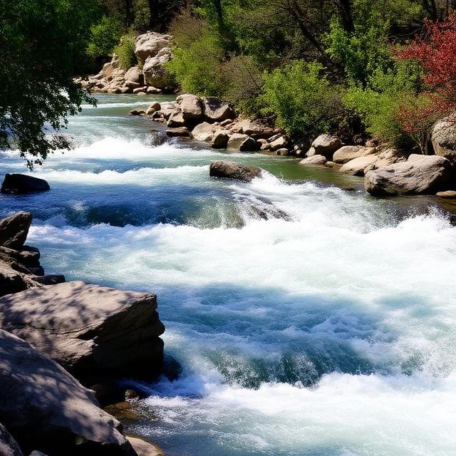
The Santa Margarita River is a highly seasonal Southern California waterway that can experience substantial increases in flow after winter storms. Most of the river is not sustained Class V whitewater, but certain high-water conditions and technical sections can create challenging paddling for experienced boaters. Because the river is relatively low-flow for much of the year, runnable opportunities can be short and strongly dependent on rainfall. Paddlers should check current conditions, recent storms, access restrictions, and potential debris before considering a descent.
Where to Stay: Fallbrook, Oceanside, and Temecula provide convenient lodging and services for exploring the Santa Margarita River area. Fallbrook is particularly close to the river corridor, while Oceanside and Temecula offer a larger selection of hotels, restaurants, fuel, and outdoor supplies. Because suitable water can occur shortly after major storms, paddlers should confirm road and access conditions before traveling.
Quick Facts: Location: Southern/Central California | Class Rapids: V potential under exceptional conditions | Difficulty: Advanced in high-water conditions | River Type: Seasonal Southern California river | Best Season: Winter and spring storms
Southern California Class V Whitewater Kayaking
━━━━━━━━━━━━━━━ 🛶 ━━━━━━━━━━━━━━━
Southern California is not generally known for sustained Class V whitewater, but several steep, rainfall-dependent creeks and mountain rivers can develop challenging conditions after major storms. The Los Peñasquitos Creek, San Antonio Creek, and San Gabriel River offer highly seasonal paddling opportunities, with water levels often changing rapidly after significant rainfall. Many sections of these waterways are not Class V under normal conditions, so the specific reach and flow should always be considered when determining difficulty. Paddlers should check current water levels, weather forecasts, storm conditions, access restrictions, and debris hazards before attempting any advanced run.
━━━━━━━━━━━━━━━ 🛶 ━━━━━━━━━━━━━━━
🛶 Los Peñasquitos Creek

Los Peñasquitos Creek is a small Southern California waterway that is highly dependent on winter rainfall for meaningful flow. After substantial storms, sections of the creek can develop faster current and technical features, although sustained Class V whitewater is uncommon. The urban and suburban setting also means paddlers should be especially aware of access restrictions, debris, and changing conditions after storms. Any potential run should be carefully evaluated rather than assuming the creek is consistently runnable or Class V.
Where to Stay: San Diego, Mira Mesa, and Poway are convenient bases for exploring the Los Peñasquitos area. San Diego provides the largest selection of hotels, restaurants, fuel, and outdoor supplies, while Mira Mesa and Poway can offer shorter approaches to different parts of the watershed. Because the creek is surrounded by developed areas, paddlers should verify legal access and current park or trail restrictions before visiting.
Quick Facts: Location: San Diego County, Southern California | Class Rapids: Highly flow-dependent; Class V not sustained | Difficulty: Variable | River Type: Seasonal urban creek | Best Season: Winter and spring storms
━━━━━━━━━━━━━━━ 🛶 ━━━━━━━━━━━━━━━
🛶 San Antonio Creek
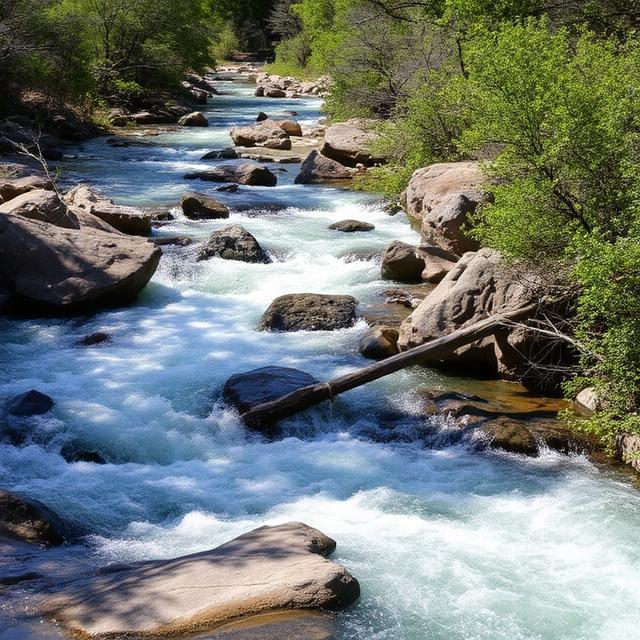
San Antonio Creek drains the steep terrain of the San Gabriel Mountains and can experience significant increases in flow following strong winter storms. Rocky channels, steep gradients, and fast-moving water can create technical conditions when the creek is carrying enough water to paddle. Runnable conditions are generally short-lived, and the difficulty can change rapidly as storm runoff rises or falls. Paddlers should monitor rainfall and water levels closely and check road, trail, and access conditions before attempting the creek.
Where to Stay: Claremont, Upland, and Ontario provide convenient bases for exploring the San Antonio Canyon area. Claremont and Upland are particularly useful for accessing the foothills, while Ontario offers a larger selection of hotels, restaurants, fuel, and supplies. Paddlers heading into the mountains should check current road and weather conditions because heavy storms can cause closures or debris hazards.
Quick Facts: Location: San Gabriel Mountains, Southern California | Class Rapids: V potential depending on exceptional flow | Difficulty: Advanced to expert at suitable flows | River Type: Steep seasonal mountain creek | Best Season: Winter and spring storms
━━━━━━━━━━━━━━━ 🛶 ━━━━━━━━━━━━━━━
🛶 San Gabriel River
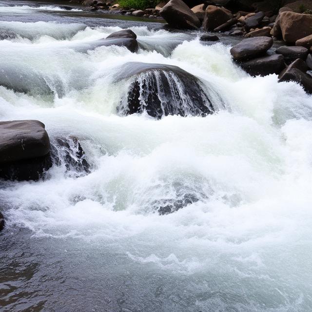
The San Gabriel River is one of the more significant mountain waterways in Southern California, flowing through the rugged San Gabriel Mountains before reaching the Los Angeles Basin. Upper sections can become technically challenging after major winter storms, with steep canyon terrain, fast current, and rocky features creating difficult conditions at higher flows. Much of the river is not Class V, so paddlers should identify the exact section and current water level before determining its difficulty. Storm debris, flash flooding, road closures, and changing flows can also create serious hazards.
Where to Stay: Azusa, Monrovia, and Pasadena are convenient bases for exploring the San Gabriel River and surrounding mountains. Azusa provides relatively close access to the lower canyon, while Monrovia and Pasadena offer a wider range of hotels, restaurants, fuel, and outdoor supplies. Paddlers planning to explore upper sections should check current mountain-road conditions and access restrictions before traveling.
Quick Facts: Location: San Gabriel Mountains, Southern California | Class Rapids: V potential depending on section and flow | Difficulty: Advanced to expert in high-water conditions | River Type: Mountain canyon river | Best Season: Winter and spring storms
Conclusion
Class V whitewater kayaking in California combines challenging rapids, spectacular mountain scenery, and some of the most demanding river environments in the country. From snowmelt-driven Sierra rivers to technical creeks in Northern California, the state’s whitewater season can offer experienced paddlers exceptional opportunities when conditions align. Because water levels can dramatically change the difficulty of a run, careful planning, scouting, and reliable flow information are essential. With the appropriate experience, equipment, and preparation, California provides an outstanding destination for expert whitewater kayakers.
Frequently Asked Questions
What is the best time of year for Class V kayaking in California?
The best time depends on the river and its source. Many California whitewater runs are at their best during the spring and early summer snowmelt season, while some creeks depend on winter rainfall. Higher flows can make Class V rapids significantly more powerful, so paddlers should always evaluate current conditions rather than relying solely on seasonal averages.
Where can I find Class V whitewater in California?
Class V whitewater can be found throughout California, particularly in the Sierra Nevada and Northern California. Rivers and creeks in these regions can feature steep gradients, powerful hydraulics, narrow channels, and technical rapids. Individual classifications vary by section and water level, so paddlers should research the exact stretch they plan to run.
Do I need experience to kayak Class V rapids in California?
Yes. Class V kayaking is intended for highly experienced paddlers who are comfortable with advanced boat control, scouting, river reading, and rescue techniques. California’s larger rivers can also have powerful flows and long consequences between access points. Paddlers should develop their skills progressively on lower-class whitewater before attempting Class V runs.
How do California water levels affect Class V kayaking?
Water levels can dramatically change the difficulty of California’s whitewater. Snowmelt and heavy rainfall can increase current speed, enlarge hydraulics, cover or expose rocks, and alter the best line through a rapid. Checking reliable flow information immediately before a trip is essential, especially for technical Class V sections.
Is Class V kayaking in California dangerous?
Yes. Class V whitewater can involve powerful hydraulics, sieves, undercut rocks, strainers, steep drops, cold water, and difficult rescue situations. Remote California rivers can also have limited road access and long stretches between take-outs. Experienced paddlers should use appropriate safety equipment, paddle with a capable group, scout major rapids, and have a clear rescue plan.




Leave a Reply