Georgia offers some of the Southeast’s most challenging whitewater kayaking, particularly in the mountainous northern part of the state. The Appalachian terrain creates steep creeks, rocky river channels, powerful drops, and technical rapids that can become especially demanding after heavy rainfall. Rivers and creeks such as the Chattooga River, Tallulah River, Cartecay River, Ellijay River, and other North Georgia waterways provide opportunities ranging from advanced Class IV paddling to serious Class V sections under the right conditions. Water levels can dramatically change the character and difficulty of a run, so experienced paddlers should check current gauges, recent rainfall, access conditions, and rapid-specific information before attempting any Class V water.
North Georgia Class V Whitewater Kayaking
━━━━━━━━━━━━━━━ 🛶 ━━━━━━━━━━━━━━━
North Georgia is the state’s primary mountain whitewater region, with steep Appalachian terrain, narrow creeks, rocky riverbeds, and rainfall-dependent flows that can create demanding technical kayaking. The Allen Creek, Bear Creek, Chestatee River, Coleman River, Conasauga River, Dicks Creek, Dodd Creek, Dukes Creek, Emery Creek, Frogtown Creek, Gulf Creek, High Shoals Creek, Holcombe Creek, Holly Creek, Moccasin Creek, Nancy Town Creek, Overflow Creek, Rock Creek, Stekoa Creek, Tallulah River, Tails Creek, Wildcat Creek, and Yahoola Creek systems offer a wide range of whitewater conditions. Several of these are small mountain creeks where difficulty can increase rapidly following heavy rain, while larger rivers provide more sustained paddling opportunities. Not every section is Class V, and some creeks may only be runnable during specific high-water events, so paddlers should verify current flows, access, recent rainfall, wood hazards, and the exact section before attempting difficult whitewater.
━━━━━━━━━━━━━━━ 🛶 ━━━━━━━━━━━━━━━
🛶 Allen Creek
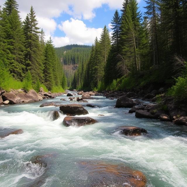
Allen Creek is a steep North Georgia mountain creek where rainfall can produce fast, technical whitewater. Its narrow channels and rugged Appalachian terrain can create challenging features when sufficient water reaches the creek. Because small creeks respond quickly to storms, the difficulty can change considerably within a short period. Paddlers should have strong creek-boating skills and carefully inspect conditions before attempting an unfamiliar section.
Where to Stay: Helen, Cleveland, and Dahlonega provide convenient bases for exploring North Georgia’s mountain waterways. Helen offers easy access to many White County-area creeks, while Cleveland and Dahlonega provide additional lodging, restaurants, fuel, and supplies. Camping is also available throughout the surrounding mountain areas.
Quick Facts: Location: North Georgia | Class Rapids: V potential depending on section and flow | Difficulty: Advanced to expert | River Type: Mountain creek | Best Season: Winter and spring rainfall
━━━━━━━━━━━━━━━ 🛶 ━━━━━━━━━━━━━━━
🛶 Bear Creek

Bear Creek is a rugged North Georgia waterway that can develop technical whitewater when rainfall produces suitable flows. The surrounding Appalachian terrain creates steep gradients and rocky channels that can challenge experienced paddlers. Flow-dependent conditions mean that a section may be significantly easier at one level and much more powerful after a major storm. Paddlers should check current water levels and scout difficult rapids before committing to a run.
Where to Stay: Ellijay, Blue Ridge, and Jasper are useful bases for exploring the North Georgia mountains. Ellijay is particularly convenient for many creek and river trips, while Blue Ridge provides extensive lodging and outdoor services. Jasper is another practical option for paddlers approaching waterways in the southern Appalachian foothills.
Quick Facts: Location: North Georgia | Class Rapids: V potential at suitable flows | Difficulty: Advanced to expert | River Type: Mountain creek | Best Season: Winter and spring storms
━━━━━━━━━━━━━━━ 🛶 ━━━━━━━━━━━━━━━
🛶 Chestatee River

The Chestatee River flows through the foothills of the North Georgia mountains and offers a mixture of recreational and more challenging whitewater depending on the section and water level. Upper reaches and tributaries can become technical following substantial rainfall. Rocky riverbeds and changing current create conditions that require careful reading of the river at higher flows. Paddlers should research the exact reach because the river is not uniformly Class V.
Where to Stay: Dahlonega, Dawsonville, and Cleveland provide convenient lodging and services. Dahlonega is an excellent base for exploring the northern part of the watershed, while Dawsonville offers access from the south. These communities provide restaurants, fuel, hotels, and supplies for paddlers.
Quick Facts: Location: North Georgia | Class Rapids: V potential on selected sections and flows | Difficulty: Intermediate to expert depending on section | River Type: Mountain foothill river | Best Season: Winter and spring
━━━━━━━━━━━━━━━ 🛶 ━━━━━━━━━━━━━━━
🛶 Coleman River
Coleman River is a scenic mountain stream in the far northeastern corner of Georgia that can become highly technical at suitable flows. Its Appalachian setting features rocky channels, steep terrain, and narrow sections that can make high-water paddling demanding. Smaller creeks such as Coleman can rise quickly after storms, creating short windows when conditions are appropriate for experienced boaters. Careful scouting and current flow information are essential.
Where to Stay: Clayton, Dillard, and Helen are convenient bases for exploring the northeastern Georgia mountains. Clayton provides especially good access to the area’s mountain waterways, while Dillard offers lodging, restaurants, and supplies close to the North Carolina border. Helen is farther southwest but provides another popular base for regional paddling.
Quick Facts: Location: Rabun County, North Georgia | Class Rapids: V potential depending on flow | Difficulty: Advanced to expert | River Type: Mountain creek | Best Season: Winter and spring rainfall
━━━━━━━━━━━━━━━ 🛶 ━━━━━━━━━━━━━━━
🛶 Conasauga River

The Conasauga River flows through the rugged Cohutta Mountains and provides a remote whitewater environment in northwest Georgia. Mountain terrain, rocky channels, and changing flows can create challenging conditions on selected upper sections. The river also passes through relatively isolated areas where assistance and access may be limited. Paddlers should research the exact section, water level, and access logistics before attempting advanced whitewater.
Where to Stay: Ellijay, Chatsworth, and Blue Ridge provide useful bases for exploring the Cohutta region. Ellijay offers convenient access to several North Georgia waterways, while Chatsworth is useful for the western side of the watershed. Blue Ridge provides a broader selection of lodging and outdoor services.
Quick Facts: Location: Northwest Georgia | Class Rapids: V potential depending on section and flow | Difficulty: Advanced to expert | River Type: Mountain river | Best Season: Winter and spring
━━━━━━━━━━━━━━━ 🛶 ━━━━━━━━━━━━━━━
🛶 Dicks Creek

Dicks Creek is a small Appalachian stream where significant rainfall can transform the waterway into a technical mountain run. Narrow channels, rocks, drops, and fast-changing current can create demanding conditions at suitable levels. Because it is a smaller drainage, runnable water can be short-lived and highly dependent on recent storms. Paddlers should inspect the creek carefully for wood and other hazards before launching.
Where to Stay: Helen, Cleveland, and Hiawassee are convenient bases for exploring nearby North Georgia creeks. Helen is particularly useful for paddlers targeting waterways around the Chattahoochee and White County mountains. Hiawassee provides access farther north toward the Georgia-North Carolina border.
Quick Facts: Location: North Georgia | Class Rapids: V potential depending on flow | Difficulty: Advanced to expert | River Type: Seasonal mountain creek | Best Season: Winter and spring storms
━━━━━━━━━━━━━━━ 🛶 ━━━━━━━━━━━━━━━
🛶 Dodd Creek
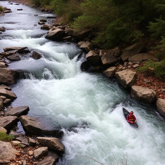
Dodd Creek is a steep North Georgia creek that can provide technical paddling when rainfall creates sufficient flow. Its small size means water levels can rise and fall quickly, changing the character of rapids within a short period. Rocky terrain and narrow channels can produce demanding features for experienced creek boaters. Current rainfall, flow, access, and wood hazards should all be evaluated before attempting a run.
Where to Stay: Helen, Cleveland, and Clarkesville offer convenient places to stay. Helen is a popular base for accessing mountain waterways, while Cleveland and Clarkesville provide additional hotels, cabins, restaurants, and fuel. Nearby camping can also work well for paddlers planning early starts.
Quick Facts: Location: North Georgia | Class Rapids: V potential at suitable flows | Difficulty: Advanced to expert | River Type: Steep mountain creek | Best Season: Winter and spring
━━━━━━━━━━━━━━━ 🛶 ━━━━━━━━━━━━━━━
🛶 Dukes Creek
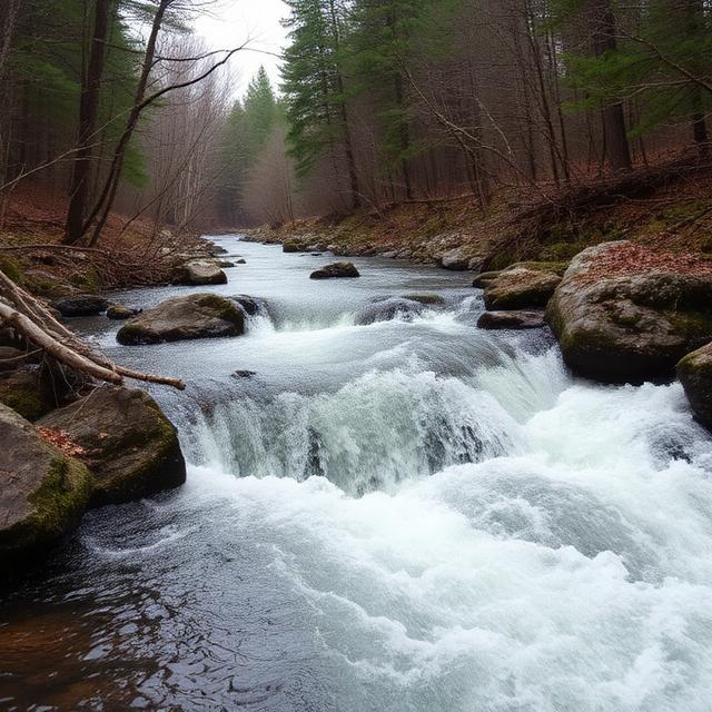
Dukes Creek is a North Georgia mountain stream surrounded by rugged terrain and forested slopes. High rainfall can create faster current and technical features, although runnable conditions are often limited by the creek’s seasonal nature. Paddlers should not assume that every section is consistently Class V, as difficulty depends heavily on water level and the exact reach. Scouting and reliable local information are particularly important on smaller creeks.
Where to Stay: Helen, Cleveland, and Clarkesville provide convenient lodging options. Helen is close to many White County waterways, while Cleveland offers additional hotels, restaurants, fuel, and supplies. Camping in the surrounding national forest areas can provide a closer base when conditions allow.
Quick Facts: Location: North Georgia | Class Rapids: V potential depending on section and flow | Difficulty: Advanced to expert | River Type: Mountain creek | Best Season: Winter and spring rainfall
━━━━━━━━━━━━━━━ 🛶 ━━━━━━━━━━━━━━━
🛶 Emery Creek

Emery Creek is a rugged North Georgia creek characterized by steep mountain terrain and seasonal flow. Following sufficient rainfall, the creek can develop fast, technical water that requires precise boat control. The narrow environment and potential for natural obstacles make scouting especially important. Paddlers should check recent rainfall and avoid assuming that a familiar low-water appearance represents conditions after a major storm.
Where to Stay: Ellijay, Blue Ridge, and Jasper provide convenient bases for exploring the surrounding mountain waterways. Ellijay is especially useful for accessing the central North Georgia mountains, while Blue Ridge offers a larger selection of lodging and outdoor services. Cabins and camping can also be practical options.
Quick Facts: Location: North Georgia | Class Rapids: V potential depending on flow | Difficulty: Advanced to expert | River Type: Seasonal mountain creek | Best Season: Winter and spring storms
━━━━━━━━━━━━━━━ 🛶 ━━━━━━━━━━━━━━━
🛶 Frogtown Creek

Frogtown Creek is a small mountain waterway that can become technical during periods of adequate rainfall. Its narrow Appalachian channel and rocky terrain can produce demanding creek-boating conditions at higher flows. Runnable opportunities may be brief because the creek responds rapidly to precipitation. Paddlers should verify the level, inspect the route for wood, and carefully scout any significant drops.
Where to Stay: Helen, Cleveland, and Dahlonega are practical bases for exploring the surrounding region. Helen provides convenient access to numerous North Georgia creeks, while Cleveland and Dahlonega offer additional lodging, restaurants, and supplies. Local cabins and campgrounds can also be useful for weekend paddling trips.
Quick Facts: Location: North Georgia | Class Rapids: V potential depending on flow | Difficulty: Advanced to expert | River Type: Seasonal creek | Best Season: Winter and spring rainfall
━━━━━━━━━━━━━━━ 🛶 ━━━━━━━━━━━━━━━
🛶 Gulf Creek
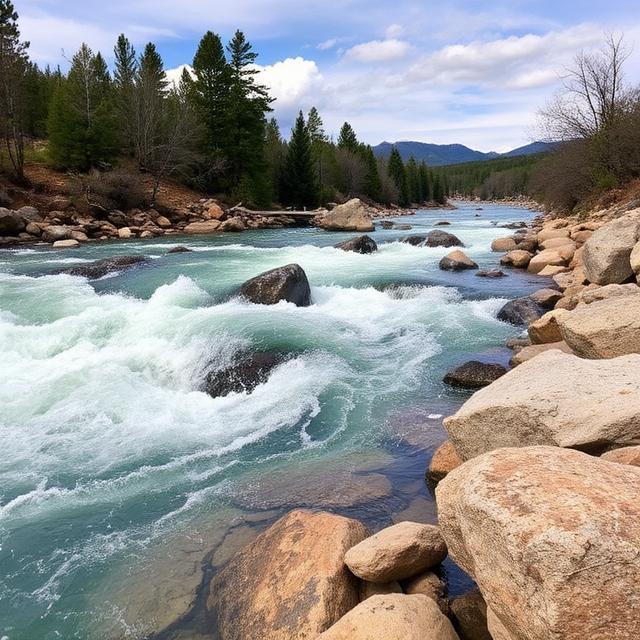
Gulf Creek is a steep Appalachian creek where heavy rainfall can create fast and technical whitewater. The creek’s small drainage means water levels can change rapidly, making timing particularly important. Rocky drops and narrow channels may provide serious challenges at high enough flows. Paddlers should confirm the exact run and current conditions rather than assuming the creek is consistently runnable.
Where to Stay: Helen, Cleveland, and Clarkesville provide convenient lodging and supplies for exploring nearby creeks. Helen is a popular base for North Georgia paddlers, while Cleveland and Clarkesville offer additional accommodation options. Camping is another possibility when facilities and conditions permit.
Quick Facts: Location: North Georgia | Class Rapids: V potential depending on section and flow | Difficulty: Advanced to expert | River Type: Mountain creek | Best Season: Winter and spring storms
━━━━━━━━━━━━━━━ 🛶 ━━━━━━━━━━━━━━━
🛶 High Shoals Creek
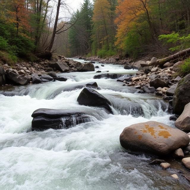
High Shoals Creek is a scenic North Georgia waterway known for steep terrain, waterfalls, and rocky mountain channels. While much of the area is more commonly associated with hiking and waterfalls than sustained whitewater kayaking, high-water conditions can create technical features on appropriate sections. Paddlers should be especially cautious around waterfalls and other hazards where the consequences of a mistake can be severe. Verify the specific paddling section and current access rules before considering a run.
Where to Stay: Helen, Cleveland, and Blairsville are convenient bases for exploring the surrounding mountains. Cleveland provides easy access to White County, while Blairsville is useful for trips farther north. Helen offers a wide selection of lodging, restaurants, and supplies.
Quick Facts: Location: North Georgia | Class Rapids: V potential on selected high-water sections | Difficulty: Advanced to expert | River Type: Mountain creek | Best Season: Winter and spring rainfall
━━━━━━━━━━━━━━━ 🛶 ━━━━━━━━━━━━━━━
🛶 Holcombe Creek

Holcombe Creek is a small North Georgia stream that can become challenging following heavy rainfall. Its steep Appalachian terrain and rocky bed create the potential for technical creek boating when water levels are appropriate. Like many small mountain creeks, conditions can change rapidly and runnable windows may be short. Experienced paddlers should check recent rainfall, flow, wood hazards, and access before launching.
Where to Stay: Helen, Cleveland, and Hiawassee offer convenient lodging for regional paddling trips. Helen is well positioned for waterways in the southern part of the North Georgia mountains, while Hiawassee is useful for northern approaches. Restaurants, fuel, cabins, and camping are available throughout the area.
Quick Facts: Location: North Georgia | Class Rapids: V potential depending on flow | Difficulty: Advanced to expert | River Type: Seasonal mountain creek | Best Season: Winter and spring
━━━━━━━━━━━━━━━ 🛶 ━━━━━━━━━━━━━━━
🛶 Holly Creek
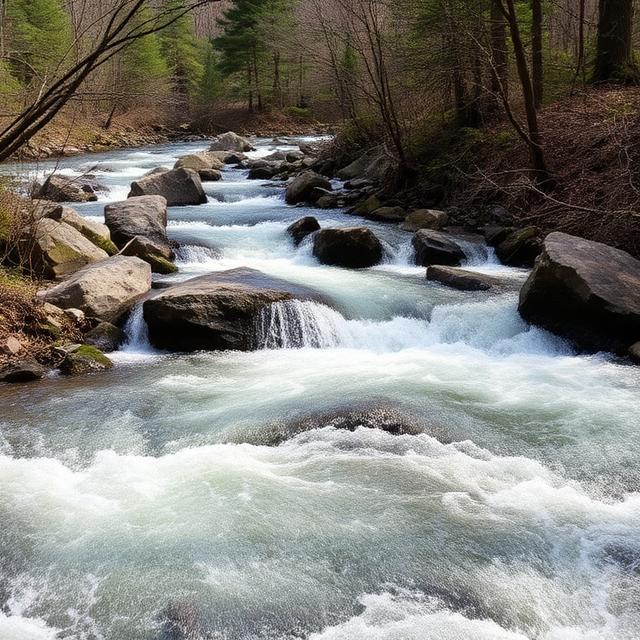
Holly Creek is a rugged mountain creek where heavy precipitation can create fast-moving and technical whitewater. The creek’s relatively small drainage means levels can rise quickly after storms, changing rapids from manageable to powerful. Rocky channels and natural obstacles require strong boat control and careful scouting. Paddlers should use reliable flow information and avoid committing to a run when conditions are beyond their experience.
Where to Stay: Ellijay, Chatsworth, and Blue Ridge provide convenient bases for exploring the surrounding mountain waterways. Ellijay is a strong central base, while Chatsworth provides access toward northwest Georgia. Blue Ridge offers additional hotels, restaurants, fuel, and outdoor services.
Quick Facts: Location: North Georgia | Class Rapids: V potential depending on section and flow | Difficulty: Advanced to expert | River Type: Mountain creek | Best Season: Winter and spring storms
━━━━━━━━━━━━━━━ 🛶 ━━━━━━━━━━━━━━━
🛶 Moccasin Creek
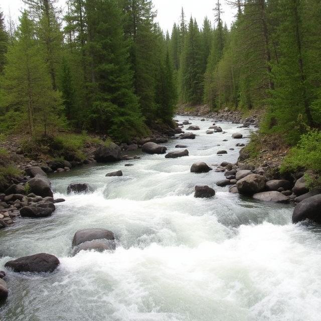
Moccasin Creek is a North Georgia mountain stream flowing through steep, forested terrain. When rainfall provides sufficient water, sections can develop technical current and rocky features that challenge experienced paddlers. Its character can vary considerably depending on flow, and some portions are better known for recreation than sustained Class V kayaking. Paddlers should identify the exact section and confirm water conditions before planning a run.
Where to Stay: Clarkesville, Helen, and Clayton are convenient bases for the surrounding waterways. Clarkesville provides easy access to several mountain creeks, while Clayton offers lodging and services in northeastern Georgia. Helen is another popular regional base with numerous accommodation and dining options.
Quick Facts: Location: Northeast Georgia | Class Rapids: V potential depending on section and flow | Difficulty: Advanced to expert | River Type: Mountain creek | Best Season: Winter and spring
━━━━━━━━━━━━━━━ 🛶 ━━━━━━━━━━━━━━━
🛶 Nancy Town Creek
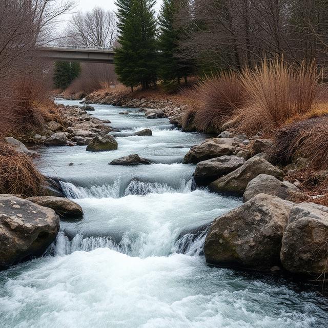
Nancy Town Creek is a small Appalachian creek where heavy rainfall can produce steep, technical whitewater. Its narrow channels and rocky bed make accurate water-level assessment particularly important. Conditions can change quickly after storms, creating both opportunities and hazards for experienced creek boaters. Scouting for wood, undercuts, and other obstacles should be part of any serious run.
Where to Stay: Clayton, Dillard, and Helen are practical bases for paddlers exploring northeastern Georgia. Clayton and Dillard provide particularly convenient access to the mountain terrain near the Georgia-North Carolina border. Helen offers more lodging, restaurants, and services for visitors exploring multiple creeks.
Quick Facts: Location: Northeast Georgia | Class Rapids: V potential depending on flow | Difficulty: Advanced to expert | River Type: Seasonal mountain creek | Best Season: Winter and spring rainfall
━━━━━━━━━━━━━━━ 🛶 ━━━━━━━━━━━━━━━
🛶 Overflow Creek
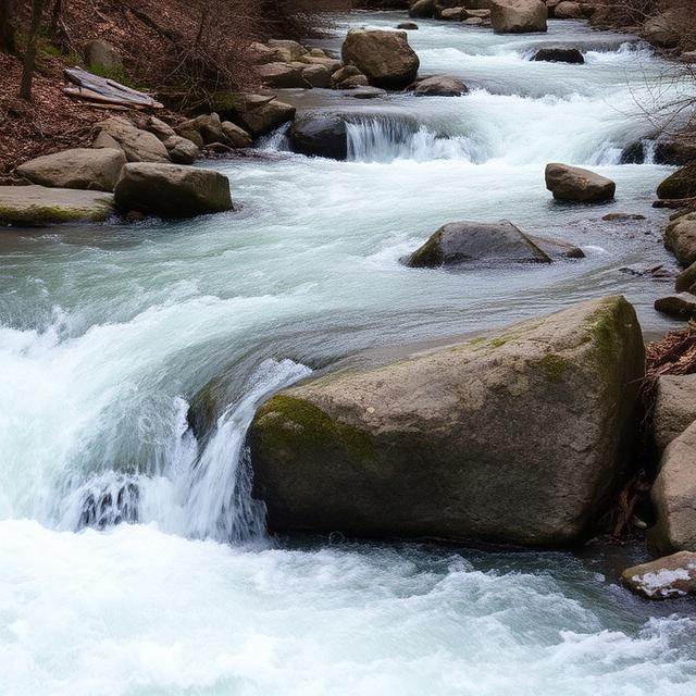
Overflow Creek is a steep North Georgia waterway where significant rainfall can produce demanding technical whitewater. The surrounding Appalachian terrain contributes to a narrow, rugged character that can make rescue and recovery difficult in some sections. Water levels are highly important because a small increase in flow can substantially increase current speed and hydraulic power. Experienced paddlers should research the exact run and scout major features before entering.
Where to Stay: Clayton, Dillard, and Helen offer convenient lodging and services. Clayton is particularly useful for exploring Rabun County waterways, while Dillard provides a quieter mountain base near the state line. Helen is a good option for paddlers combining several North Georgia runs.
Quick Facts: Location: Northeast Georgia | Class Rapids: V potential depending on section and flow | Difficulty: Advanced to expert | River Type: Steep mountain creek | Best Season: Winter and spring storms
━━━━━━━━━━━━━━━ 🛶 ━━━━━━━━━━━━━━━
🛶 Rock Creek
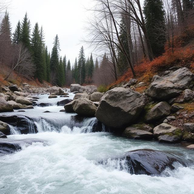
Rock Creek is a rugged North Georgia stream with rocky channels and forested mountain surroundings. Heavy rainfall can create faster, more technical conditions, particularly on steeper sections. The creek’s smaller watershed means suitable flows may be short-lived and difficult to predict. Paddlers should verify recent precipitation, current conditions, access, and natural hazards before attempting a difficult run.
Where to Stay: Helen, Cleveland, and Dahlonega provide convenient bases for exploring nearby mountain waterways. Helen is especially popular among outdoor travelers, while Cleveland and Dahlonega offer additional lodging and supplies. Camping can be useful for paddlers planning trips around short weather windows.
Quick Facts: Location: North Georgia | Class Rapids: V potential depending on section and flow | Difficulty: Advanced to expert | River Type: Mountain creek | Best Season: Winter and spring rainfall
━━━━━━━━━━━━━━━ 🛶 ━━━━━━━━━━━━━━━
🛶 Stekoa Creek
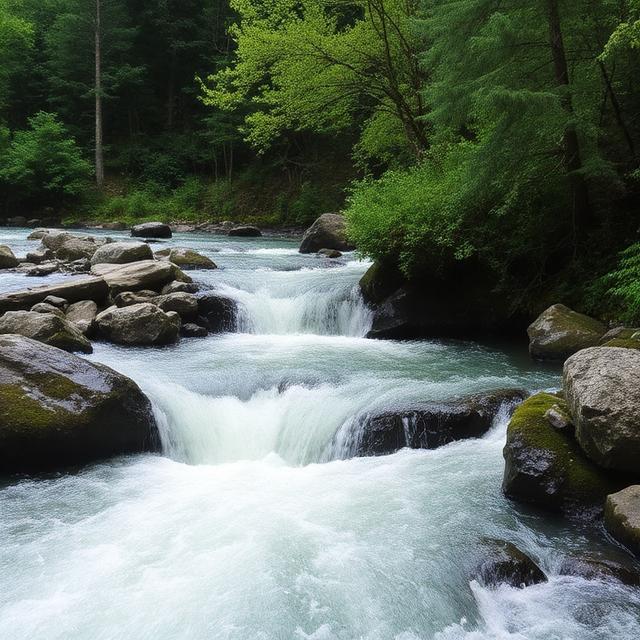
Stekoa Creek is a mountain waterway in northeastern Georgia where rainfall can produce technical paddling conditions. Rocky terrain and changing gradient create opportunities for experienced creek boaters when flows are suitable. Because the creek is relatively small, conditions can rise rapidly after storms and become substantially more powerful. Paddlers should research the exact section, inspect hazards, and confirm current conditions before attempting the creek.
Where to Stay: Clayton, Dillard, and Franklin, North Carolina are useful regional bases. Clayton is particularly convenient for exploring Georgia’s Rabun County waterways, while Dillard provides close access to the northeastern mountains. Franklin can also be practical for paddlers combining Georgia and western North Carolina runs.
Quick Facts: Location: Northeast Georgia | Class Rapids: V potential depending on flow | Difficulty: Advanced to expert | River Type: Mountain creek | Best Season: Winter and spring storms
━━━━━━━━━━━━━━━ 🛶 ━━━━━━━━━━━━━━━
🛶 Tallulah River

The Tallulah River is one of Georgia’s best-known whitewater destinations, flowing through the dramatic Tallulah Gorge in the northeast part of the state. The gorge contains steep, technical terrain and has historically been associated with serious whitewater kayaking during designated releases. Rapids and drops can become extremely demanding, with limited recovery opportunities in the gorge. Paddlers should be aware of release schedules, permitting requirements, access restrictions, and current safety conditions before planning a descent.
Where to Stay: Clayton, Tallulah Falls, and Helen are convenient bases for the Tallulah area. Clayton offers the largest selection of lodging, restaurants, fuel, and outdoor services, while Tallulah Falls provides the closest access to the gorge. Helen is another useful base for visitors exploring multiple North Georgia waterways.
Quick Facts: Location: Rabun County, North Georgia | Class Rapids: Class V potential on designated gorge sections | Difficulty: Expert | River Type: Steep gorge river | Best Season: Scheduled releases and suitable water conditions
━━━━━━━━━━━━━━━ 🛶 ━━━━━━━━━━━━━━━
🛶 Tails Creek

Tails Creek is a North Georgia mountain waterway that can develop technical whitewater after adequate rainfall. Its rocky channel and Appalachian terrain can create demanding features at higher flows. Like many smaller creeks in the region, water levels can change quickly and suitable conditions may be brief. Paddlers should verify the level and scout for wood and other hazards before committing to a run.
Where to Stay: Ellijay, Blue Ridge, and Jasper are practical lodging bases for exploring this area. Ellijay is particularly convenient for the central North Georgia mountains, while Blue Ridge offers extensive lodging and outdoor services. Jasper is another good option for trips toward the southern Cohutta region.
Quick Facts: Location: North Georgia | Class Rapids: V potential depending on section and flow | Difficulty: Advanced to expert | River Type: Seasonal mountain creek | Best Season: Winter and spring
━━━━━━━━━━━━━━━ 🛶 ━━━━━━━━━━━━━━━
🛶 Wildcat Creek
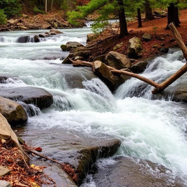
Wildcat Creek is a steep mountain stream where heavy rainfall can create fast and technical whitewater. Rocky channels and changing gradients can challenge experienced paddlers when water levels reach suitable conditions. Because the creek is rainfall-dependent, a short period of ideal water may be followed quickly by lower or excessively high flows. Current conditions and recent local rainfall should be checked before any attempt.
Where to Stay: Clayton, Dillard, and Helen provide convenient bases for exploring North Georgia. Clayton is particularly useful for northeastern Georgia waterways, while Helen offers easy access to a large number of mountain recreation areas. Local cabins and campgrounds can also provide convenient accommodation.
Quick Facts: Location: North Georgia | Class Rapids: V potential depending on flow | Difficulty: Advanced to expert | River Type: Mountain creek | Best Season: Winter and spring storms
━━━━━━━━━━━━━━━ 🛶 ━━━━━━━━━━━━━━━
🛶 Yahoola Creek

Yahoola Creek is a North Georgia foothill stream that can develop challenging conditions following substantial rainfall. Its rocky channels and changing gradient can create technical water when flows are high enough, although not every section should be considered Class V. Smaller creek flows can change rapidly, making recent precipitation and current observations particularly valuable. Paddlers should carefully research access and scout unfamiliar sections before launching.
Where to Stay: Dahlonega, Cleveland, and Dawsonville provide convenient bases for exploring Yahoola Creek and nearby waterways. Dahlonega is especially useful for accessing the northern foothills, while Cleveland provides a good base for trips farther into the mountains. All three communities offer lodging, restaurants, fuel, and supplies for paddlers.
Northwest Georgia Class V Whitewater Kayaking
━━━━━━━━━━━━━━━ 🛶 ━━━━━━━━━━━━━━━
Northwest Georgia features rugged foothills, forested valleys, and smaller mountain streams that can produce technical whitewater following sufficient rainfall. The Clear Creek, Daniel Creek, Warren Creek, and Mulberry Creek systems offer opportunities for experienced paddlers when water levels are suitable, although individual sections can vary considerably in difficulty. Small creeks in this region can rise quickly after storms, creating short windows of runnable water and significantly changing the character of rapids. Paddlers should verify current flows, recent rainfall, access conditions, wood hazards, and the exact difficulty of each section before attempting advanced or Class V water.
━━━━━━━━━━━━━━━ 🛶 ━━━━━━━━━━━━━━━
🛶 Clear Creek

Clear Creek is a Northwest Georgia mountain stream that can develop fast, technical whitewater after substantial rainfall. Rocky channels, changing gradients, and narrow sections can create demanding conditions for experienced creek boaters when flows are appropriate. Because the creek is relatively small, water levels can rise and fall quickly following storms. Paddlers should carefully inspect the route for wood and other hazards and confirm current conditions before launching.
Where to Stay: Calhoun, Dalton, and Rome provide convenient bases for exploring Northwest Georgia waterways. Calhoun offers a central location with hotels, restaurants, fuel, and other services, while Dalton provides additional lodging and outdoor supplies. Rome can be useful for paddlers exploring waterways farther west.
Quick Facts: Location: Northwest Georgia | Class Rapids: V potential depending on section and flow | Difficulty: Advanced to expert | River Type: Seasonal mountain creek | Best Season: Winter and spring rainfall
━━━━━━━━━━━━━━━ 🛶 ━━━━━━━━━━━━━━━
🛶 Daniel Creek

Daniel Creek is a smaller Northwest Georgia waterway where heavy rainfall can produce challenging creek-boating conditions. Its Appalachian foothill setting features rocky channels and sections where increased flow can create stronger current and technical features. Runnable conditions may be limited because the creek depends heavily on recent precipitation. Experienced paddlers should research the exact section, check water levels, and scout significant rapids before committing to a run.
Where to Stay: Dalton, Calhoun, and Chatsworth are useful bases for exploring the surrounding mountain region. Dalton offers the largest selection of hotels, restaurants, fuel, and supplies, while Calhoun and Chatsworth provide convenient access to more remote areas. Cabins and campgrounds are also available throughout the surrounding foothills.
Quick Facts: Location: Northwest Georgia | Class Rapids: V potential at suitable flows | Difficulty: Advanced to expert | River Type: Mountain creek | Best Season: Winter and spring storms
━━━━━━━━━━━━━━━ 🛶 ━━━━━━━━━━━━━━━
🛶 Warren Creek

Warren Creek is a rugged Northwest Georgia creek that can become technical during periods of high rainfall. Its smaller drainage responds quickly to storms, potentially creating powerful current and difficult features over a relatively short period. The creek should not automatically be considered continuous Class V, as difficulty depends on the particular section and water level. Paddlers should scout unfamiliar rapids and be prepared for natural hazards such as strainers and undercut rocks.
Where to Stay: Rome, Calhoun, and Dalton provide convenient lodging and services for regional paddling trips. Rome is particularly useful for exploring western portions of Northwest Georgia, while Calhoun provides a central base near several mountain watersheds. Dalton offers additional restaurants, fuel, hotels, and outdoor supplies.
Quick Facts: Location: Northwest Georgia | Class Rapids: V potential depending on section and flow | Difficulty: Advanced to expert | River Type: Seasonal mountain creek | Best Season: Winter and spring rainfall
━━━━━━━━━━━━━━━ 🛶 ━━━━━━━━━━━━━━━
🛶 Mulberry Creek

Mulberry Creek is a Northwest Georgia stream where substantial rainfall can create faster and more technical paddling conditions. Rocky sections and changing flow can make the creek challenging for experienced boaters when water levels are suitable. As with many smaller Georgia creeks, runnable conditions can be brief and may change significantly after a major storm. Paddlers should verify the exact run, current water level, access, and recent reports before attempting difficult sections.
Where to Stay: Rome, Calhoun, and Cartersville offer practical bases for exploring Northwest Georgia. Rome provides convenient access to western waterways, while Calhoun is well positioned for mountain areas farther north. Cartersville offers a wider range of lodging, restaurants, fuel, and other travel services.
Quick Facts: Location: Northwest Georgia | Class Rapids: V potential depending on section and flow | Difficulty: Advanced to expert | River Type: Rainfall-dependent creek | Best Season: Winter and spring storms
Central Georgia Class V Whitewater Kayaking
━━━━━━━━━━━━━━━ 🛶 ━━━━━━━━━━━━━━━
Central Georgia is generally less mountainous than North Georgia, but several creeks, rivers, and overflow channels can develop challenging whitewater during periods of heavy rainfall. The Augusta Canal Overflow, Corbin Creek, Flat Creek, Sweetwater Creek, Sope Creek, and Towaliga River represent a mix of small creeks, urban waterways, and larger river systems where difficulty can vary substantially by section and flow. Many of these waterways are not consistently Class V and may only become technically challenging during elevated water conditions. Paddlers should verify current flows, recent rainfall, access rules, debris hazards, and the exact section before attempting any advanced run.
━━━━━━━━━━━━━━━ 🛶 ━━━━━━━━━━━━━━━
🛶 Augusta Canal Overflow

The Augusta Canal Overflow is associated with the extensive canal system around Augusta and can experience increased current during high-water or overflow conditions. Man-made structures, confined channels, strainers, and changing hydraulics can make certain areas particularly hazardous. Conditions may be very different from those found on natural mountain rivers, and some areas may have restrictions on paddling or access. Paddlers should confirm legal access, current water conditions, and specific hazards before considering any run.
Where to Stay: Augusta, North Augusta, and Evans provide the most convenient bases for exploring the Augusta-area waterways. Augusta offers the largest selection of hotels, restaurants, fuel, and outdoor supplies, while North Augusta and Evans provide additional accommodation options. Staying in the Augusta area also makes it easy to explore nearby rivers and creeks.
Quick Facts: Location: Augusta area, Central Georgia | Class Rapids: Highly flow- and section-dependent | Difficulty: Advanced conditions possible | River Type: Canal overflow and urban waterway | Best Season: High-water periods
━━━━━━━━━━━━━━━ 🛶 ━━━━━━━━━━━━━━━
🛶 Corbin Creek

Corbin Creek is a Central Georgia stream where substantial rainfall can produce faster current and more technical conditions. Smaller waterways can respond quickly to storms, creating short periods when flows are suitable for experienced paddlers. Rocky features, wood, and changing channel conditions should be expected when exploring lesser-known creeks. Paddlers should verify the exact section and water level rather than assuming the entire creek is Class V.
Where to Stay: Macon, Warner Robins, and Forsyth offer convenient lodging and services for exploring Central Georgia. Macon provides the broadest selection of hotels, restaurants, fuel, and supplies, while Warner Robins is another practical base for waterways south of the city. Forsyth can be useful for paddlers approaching waterways farther north.
Quick Facts: Location: Central Georgia | Class Rapids: V potential depending on section and flow | Difficulty: Advanced to expert at suitable levels | River Type: Seasonal creek | Best Season: Winter and spring rainfall
━━━━━━━━━━━━━━━ 🛶 ━━━━━━━━━━━━━━━
🛶 Flat Creek
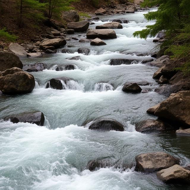
Flat Creek is a Central Georgia waterway that can become significantly more active following periods of heavy precipitation. Although much of the creek may offer easier conditions, elevated water can increase current speed and create technical features around bends, drops, and obstructions. Because its character can change with flow, paddlers should assess conditions on the specific reach they plan to paddle. Scouting is particularly important where strainers, bridges, or other obstacles are present.
Where to Stay: Macon, Forsyth, and Milledgeville provide convenient places to stay depending on the section being explored. Macon offers extensive lodging and dining choices, while Forsyth provides a smaller and quieter base. Milledgeville is useful for exploring waterways farther east and north of the central region.
Quick Facts: Location: Central Georgia | Class Rapids: Flow-dependent; difficult features possible | Difficulty: Variable | River Type: Creek | Best Season: Winter and spring storms
━━━━━━━━━━━━━━━ 🛶 ━━━━━━━━━━━━━━━
🛶 Sweetwater Creek
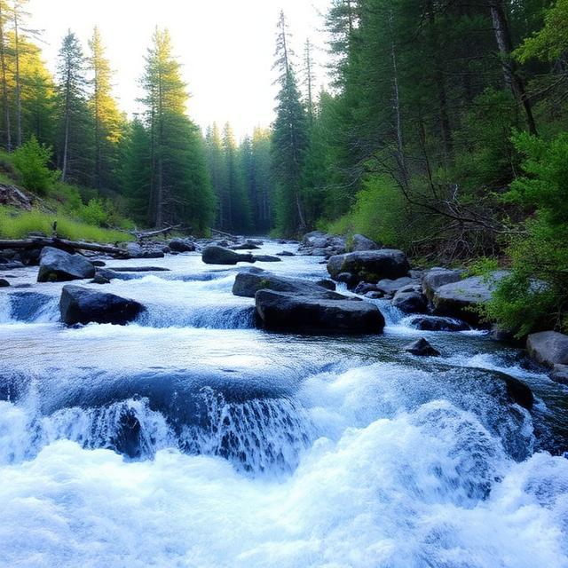
Sweetwater Creek is a well-known waterway west of Atlanta that flows through a rugged landscape despite its proximity to a major metropolitan area. The creek features rocky terrain, narrow channels, and sections of faster water that can become more challenging after substantial rainfall. Much of the area is more commonly associated with hiking, scenery, and recreational paddling than sustained Class V whitewater. Visitors should confirm access regulations and water conditions before attempting any technical section.
Where to Stay: Atlanta, Smyrna, and Lithia Springs are convenient bases for exploring Sweetwater Creek and the surrounding area. Atlanta provides the greatest selection of hotels, restaurants, transportation, and outdoor retailers. Smyrna and Lithia Springs can offer shorter approaches to the creek while remaining close to metropolitan services.
Quick Facts: Location: West of Atlanta, Central Georgia | Class Rapids: V potential only on selected conditions/sections | Difficulty: Variable to advanced | River Type: Urban-adjacent mountain creek | Best Season: Winter and spring rainfall
━━━━━━━━━━━━━━━ 🛶 ━━━━━━━━━━━━━━━
🛶 Sope Creek

Sope Creek is a small waterway in the Atlanta metropolitan area that can experience significantly increased flow after heavy rainfall. Its urban setting and confined channels can create hazards that differ from those found on remote mountain creeks, including debris and infrastructure. The creek is better known for recreation and historic mill scenery than sustained Class V kayaking, so paddlers should carefully verify the classification of any specific section. Access and park regulations should also be checked before launching.
Where to Stay: Atlanta, Sandy Springs, and Marietta provide convenient bases for exploring Sope Creek. Marietta is particularly close to the creek, while Atlanta and Sandy Springs offer extensive lodging, dining, fuel, and outdoor services. Staying in the metropolitan area also provides easy access to other North Georgia waterways.
Quick Facts: Location: Atlanta metropolitan area | Class Rapids: Highly flow- and section-dependent | Difficulty: Variable | River Type: Urban creek | Best Season: Heavy rainfall periods
━━━━━━━━━━━━━━━ 🛶 ━━━━━━━━━━━━━━━
🛶 Towaliga River

The Towaliga River is a larger Central Georgia river flowing through a landscape of forests, reservoirs, and rolling terrain. Water levels can rise considerably following major rainfall, producing stronger current and more demanding conditions on selected sections. However, the river is not uniformly Class V, and much of its paddling character is more recreational than expert-level. Paddlers should research the exact reach, gauge conditions, dams, portages, and access points before planning a trip.
Where to Stay: Macon, Forsyth, and Jackson provide useful bases for exploring the Towaliga River. Macon has the widest range of lodging and services, while Forsyth offers convenient access to northern sections. Jackson can be useful for paddlers exploring the river farther south toward the Piedmont and reservoir areas.
Quick Facts: Location: Central Georgia | Class Rapids: V potential only on selected sections and high flows | Difficulty: Variable to advanced | River Type: Piedmont river | Best Season: Winter and spring high-water periods
Northeast Georgia / Chattooga Area Class V Whitewater Kayaking
━━━━━━━━━━━━━━━ 🛶 ━━━━━━━━━━━━━━━
The Northeast Georgia and Chattooga region is one of the state’s premier destinations for advanced whitewater kayaking, with steep Appalachian terrain, deep gorges, rocky creeks, and several well-known technical river sections. The Chattooga River, Clear Creek, Tallulah River, and Stekoa Creek offer different types of challenging paddling, from established whitewater runs to smaller, rainfall-dependent creeks. Water levels can dramatically change the character of these waterways, and some of the most difficult sections require specific flows, permits, or scheduled releases. Paddlers should verify current gauges, recent rainfall, access requirements, release schedules, and rapid-specific ratings before attempting Class V water.
━━━━━━━━━━━━━━━ 🛶 ━━━━━━━━━━━━━━━
🛶 Chattooga River

The Chattooga River is one of the Southeast’s most famous whitewater rivers and forms part of the Georgia-South Carolina border. Its rugged gorge, powerful rapids, waterfalls, and remote setting provide some of the region’s most demanding paddling, including well-known expert sections. Water levels significantly affect rapid difficulty, and some features become substantially more powerful as flows rise. Paddlers should research the exact section, current gauge, access logistics, and applicable regulations before attempting a run.
Where to Stay: Clayton, Mountain Rest, South Carolina, and Walhalla, South Carolina are popular bases for Chattooga trips. Clayton provides convenient lodging, restaurants, fuel, and outdoor services on the Georgia side. Mountain Rest and Walhalla offer additional access to the river and surrounding national forest.
Quick Facts: Location: Northeast Georgia / Georgia-South Carolina border | Class Rapids: Class V on selected sections and features | Difficulty: Advanced to expert | River Type: Mountain gorge river | Best Season: Rainfall-dependent periods, with section-specific flows
━━━━━━━━━━━━━━━ 🛶 ━━━━━━━━━━━━━━━
🛶 Clear Creek
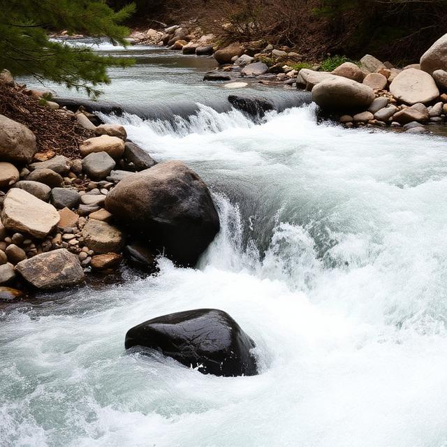
Clear Creek is a smaller Northeast Georgia waterway that can become technically challenging when rainfall produces adequate flow. Its mountain setting, rocky channel, and changing gradient can create demanding creek-boating conditions for experienced paddlers. Because smaller creeks can rise rapidly after storms, the window between low water and excessive flow may be relatively short. Paddlers should scout for wood and other natural hazards and confirm current conditions before attempting difficult sections.
Where to Stay: Clayton, Dillard, and Helen provide convenient bases for exploring Northeast Georgia’s waterways. Clayton is particularly useful for the Chattooga and Rabun County area, while Dillard provides a quieter mountain base near the North Carolina border. Helen offers more lodging, restaurants, and services for visitors exploring several North Georgia creeks.
Quick Facts: Location: Northeast Georgia | Class Rapids: V potential depending on section and flow | Difficulty: Advanced to expert | River Type: Seasonal mountain creek | Best Season: Winter and spring rainfall
━━━━━━━━━━━━━━━ 🛶 ━━━━━━━━━━━━━━━
🛶 Tallulah River
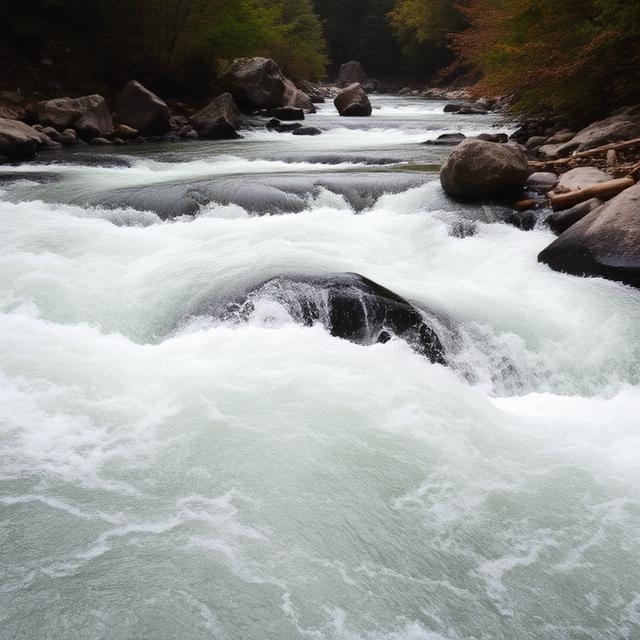
The Tallulah River is one of Georgia’s most iconic whitewater destinations, particularly where it passes through the dramatic Tallulah Gorge. The gorge features steep drops, powerful rapids, waterfalls, and technical lines that can challenge even highly experienced paddlers. Whitewater access in the gorge is closely associated with scheduled water releases and specific regulations, making advance planning essential. Paddlers should confirm the current release schedule, permit requirements, access conditions, and section-specific hazards before attempting a descent.
Where to Stay: Clayton, Tallulah Falls, and Helen are convenient bases for Tallulah River trips. Tallulah Falls is closest to the gorge, while Clayton offers a larger selection of hotels, restaurants, fuel, and outdoor services. Helen is another useful base for paddlers combining Tallulah with other North Georgia runs.
Quick Facts: Location: Rabun County, Northeast Georgia | Class Rapids: Class V potential in the gorge | Difficulty: Expert | River Type: Steep gorge river | Best Season: Scheduled releases and suitable water conditions
━━━━━━━━━━━━━━━ 🛶 ━━━━━━━━━━━━━━━
🛶 Stekoa Creek
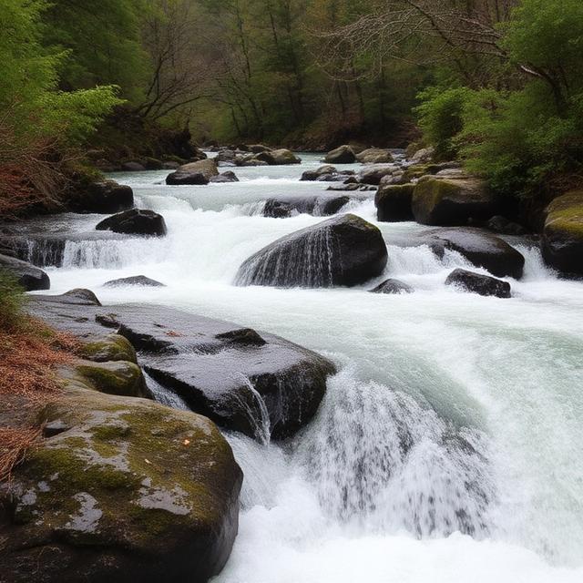
Stekoa Creek is a rugged Northeast Georgia mountain stream that can develop technical whitewater following significant rainfall. Its smaller drainage responds quickly to storms, while rocky channels and steep terrain can create challenging features at suitable flows. Runnable conditions may be limited, and the creek’s difficulty can change substantially as water levels rise or fall. Paddlers should verify the exact section, recent rainfall, current flow, access, and potential wood hazards before committing to a run.
Where to Stay: Clayton, Dillard, and Franklin, North Carolina provide convenient regional bases for exploring Stekoa Creek and nearby waterways. Clayton is especially well positioned for Northeast Georgia paddling, while Dillard offers lodging and services close to the state line. Franklin can be useful for paddlers combining Georgia trips with runs in western North Carolina.
Quick Facts: Location: Northeast Georgia | Class Rapids: V potential depending on section and flow | Difficulty: Advanced to expert | River Type: Rainfall-dependent mountain creek | Best Season: Winter and spring storms
Conclusion
Class V whitewater kayaking in Georgia offers demanding paddling in a beautiful Appalachian setting, but these runs require substantial experience, preparation, and sound judgment. Steep gradients, technical rapids, cold water, changing flows, strainers, and remote canyon sections can create serious consequences for mistakes. Not every section of a river listed for Georgia Class V kayaking is continuously rated Class V, and difficulty can vary significantly with water level. Paddlers should research the exact section, scout unfamiliar rapids, use appropriate safety equipment, and avoid committing to challenging water when conditions exceed their experience.
Frequently Asked Questions
Where is the best Class V whitewater kayaking in Georgia?
North Georgia is the state’s primary destination for difficult whitewater because of its Appalachian mountains and steep-gradient rivers and creeks. The Chattooga River and Tallulah River are among the best-known destinations for advanced paddlers. Individual sections can vary significantly in difficulty, so paddlers should research the specific run rather than judging an entire river by a single classification.
Is Georgia good for expert whitewater kayaking?
Yes. Georgia has several challenging whitewater runs that can provide serious Class IV and Class V paddling under appropriate conditions. The state’s mountainous terrain and rainfall-dependent waterways create technical rapids and steep creek opportunities. However, runnable conditions can be highly seasonal and may require substantial experience.
What is the best time of year for Class V kayaking in Georgia?
The best opportunities generally occur during periods of adequate rainfall, particularly during the cooler months and winter or spring storm cycles. Some creeks require substantial rain to become runnable, while other rivers may have more consistent flows. Always check current water levels because high water can dramatically increase the difficulty of an already challenging rapid.
Do Georgia Class V rivers require advanced experience?
Yes. Class V whitewater is intended for highly experienced paddlers with strong boat-control, scouting, rescue, and river-reading skills. Difficult rapids may include powerful hydraulics, steep drops, narrow channels, rocks, strainers, and limited recovery opportunities. Paddlers should be comfortable with the specific type of whitewater they are attempting and should not use a Class V run as a first step into advanced kayaking.
What equipment is recommended for Class V kayaking?
A properly fitted whitewater kayak, approved helmet, personal flotation device, paddle, appropriate thermal protection, and reliable safety equipment are fundamental. Experienced teams should also carry suitable rescue equipment and have a clear communication and safety plan. Equipment should be appropriate for the expected water temperature, flow, and remoteness of the particular run.
How much does water level affect Georgia whitewater?
Water level can completely change the character of a Georgia whitewater run. A rapid that is technical at moderate flows can become substantially more powerful and dangerous at higher levels, while smaller creeks may only become runnable after significant rainfall. Paddlers should use reliable gauges and recent local information rather than assuming that a river’s difficulty rating remains constant.
Are all Georgia rivers listed as Class V continuously Class V?
No. River classifications generally apply to particular sections and conditions rather than an entire river from beginning to end. Some waterways contain isolated Class V rapids surrounded by easier Class III or IV water, while others change classification as water levels rise or fall. Always identify the exact section and current conditions before planning a run.
Where should visitors stay when kayaking North Georgia?
Helen, Clayton, Ellijay, Dahlonega, and nearby mountain communities can provide convenient bases for exploring North Georgia’s whitewater. The best town depends on the specific river and access point being used. Larger nearby communities generally offer more lodging, restaurants, fuel, and outdoor supplies, while smaller mountain towns can put paddlers closer to the river.


Leave a Reply